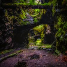
Kanonudden
Location: Filipstads kommun
GPS coordinates: 59.71149,14.17691
Latest update: November 21, 2025 06:27
Högbergsfältet
7.2 km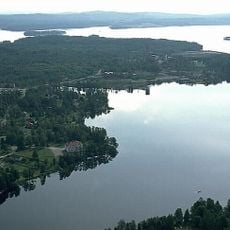
Yngen lake
8.1 km
Klockarhöjdenmasten
4.4 km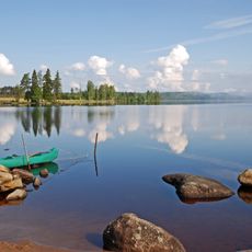
Lersjön
4.3 km
Nedre Kallsteniigården
393 m
Public beach Talludden
1.9 km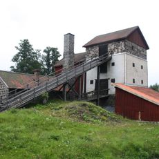
Storbrohyttan
1.5 km
Filipstads Bergslags hembygdsförening
1.4 km
Brattfors 9:1
10.6 km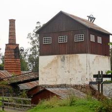
Brattforshyttan
10.1 km
Brödmuseum
1.2 km
2003862 Tall
804 m
Filipstads kvarn
912 m
Museet Kvarnen/Ferlinmuseet
920 m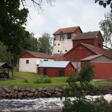
Storbrohyttan
1.5 km
Bergmästaregården, Filipstad
322 m
Färnebo 367:2
7.2 km
Hjulgrav
8.7 km
Spångbergskällan
550 m
Munkebergs badplats
1.6 km
Sandviken
9.7 km
Nils Ferlin
539 m
Victor Rosendahl
547 m
Gunde Johansson
631 m
Franz von Schéele
498 m
Work of art, sculpture
6 km
Statue, Work of art
513 m
Nils-Torstensgruvan
7.5 kmReviews
Visited this place? Tap the stars to rate it and share your experience / photos with the community! Try now! You can cancel it anytime.
Discover hidden gems everywhere you go!
From secret cafés to breathtaking viewpoints, skip the crowded tourist spots and find places that match your style. Our app makes it easy with voice search, smart filtering, route optimization, and insider tips from travelers worldwide. Download now for the complete mobile experience.

A unique approach to discovering new places❞
— Le Figaro
All the places worth exploring❞
— France Info
A tailor-made excursion in just a few clicks❞
— 20 Minutes