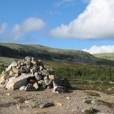
Uppvallens fäbod
Location: Linsell distrikt
Location: Härjedalens kommun
GPS coordinates: 62.12770,13.24476
Latest update: November 21, 2025 04:02
Städjan-Nipfjället
23.2 km
Lillhärjåbygget
22 km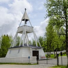
Högvålens kapell
21.6 km
Vedungsfjällen
20.7 km
Brovallvålen
21.3 km
Sörvallen-Mellanåsen
9.2 km
Lill-Rånddalen
14.7 km
Nysätern
21.3 km
Sågbäcken
20.7 km
Sveduberget
21.2 km
Svanhågna
9.5 km
Gråsidan
21.3 km
Sömlinghågna
8.8 km
Korpflyet
20.5 km
Högfjället
22.9 km
Näskilsvålen
17.8 km
Hede 226:1
15.9 km
Idre 225:1
23.4 km
Hede 222:1
9.1 km
Hede 226:3
15.9 km
Hede 226:2
15.9 km
Tännäs 483:1
22.2 km
Hälsingstenen
15.3 km
Glötesåsens utsiktsplats
13.5 km
Lilla Fjätfallet
23.3 km
Waterfall
19.8 km
Waterfall
23.8 km
Wasserfall
22.2 kmReviews
Visited this place? Tap the stars to rate it and share your experience / photos with the community! Try now! You can cancel it anytime.
Discover hidden gems everywhere you go!
From secret cafés to breathtaking viewpoints, skip the crowded tourist spots and find places that match your style. Our app makes it easy with voice search, smart filtering, route optimization, and insider tips from travelers worldwide. Download now for the complete mobile experience.

A unique approach to discovering new places❞
— Le Figaro
All the places worth exploring❞
— France Info
A tailor-made excursion in just a few clicks❞
— 20 Minutes