Cheyenne County Historical Marker
Location: Cheyenne County
GPS coordinates: 41.15456,-103.09002
Latest update: November 3, 2025 01:04
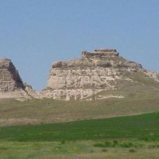
Courthouse and Jail Rocks
49.3 km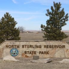
North Sterling State Park
43.2 km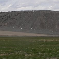
Bighorn Mountain
56.7 km
Camp Clarke Bridge Site
57.8 km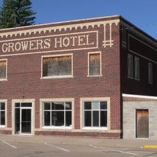
Wheat Growers Hotel
48.6 km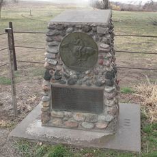
Mud Springs Station Archeological District
37.2 km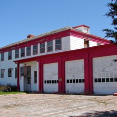
Sioux Ordnance Depot Fire & Guard Headquarters
6.8 km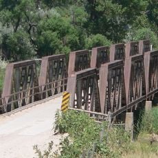
Lisco State Aid Bridge
53.9 km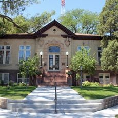
Sterling Public Library
60 km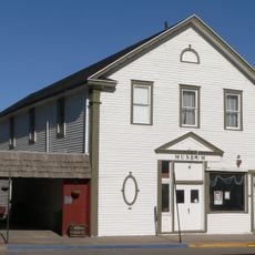
Fraternal Hall
48.9 km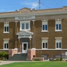
Deuel County Courthouse
52.3 km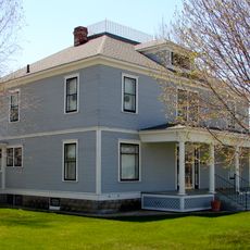
Fred and Minnie Meyer Sudman House
52.2 km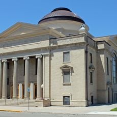
First United Presbyterian Church
60 km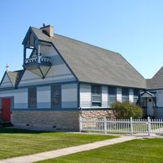
Christ Episcopal Church
9.7 km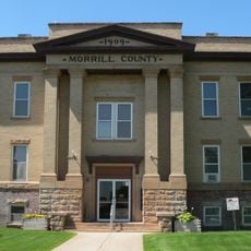
Morrill County Courthouse
57.1 km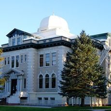
Logan County Courthouse
59.9 km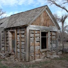
Schuetz Log Cabin
38.4 km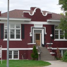
Sidney Carnegie Library
9.8 km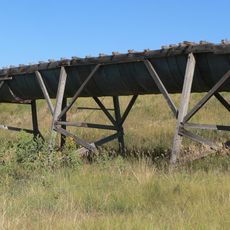
Maginnis Irrigation Aqueduct
58.2 km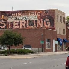
Downtown Sterling Historic District
59.9 km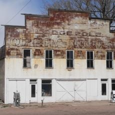
Lodgepole Opera House
37.8 km
Sidney - Cheyenne County Historical Marker
14.6 km
Historic Lodgepole Creek Valley Historical Marker
48.1 km
Cabelas Wildlife Display
12.1 km
Abandoned Drive In
47.7 km
Welcome to Potter
20.3 km
Metamorphosis
60 km
Statue, Work of art
59.9 kmReviews
Visited this place? Tap the stars to rate it and share your experience / photos with the community! Try now! You can cancel it anytime.
Discover hidden gems everywhere you go!
From secret cafés to breathtaking viewpoints, skip the crowded tourist spots and find places that match your style. Our app makes it easy with voice search, smart filtering, route optimization, and insider tips from travelers worldwide. Download now for the complete mobile experience.

A unique approach to discovering new places❞
— Le Figaro
All the places worth exploring❞
— France Info
A tailor-made excursion in just a few clicks❞
— 20 Minutes