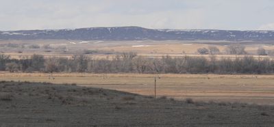
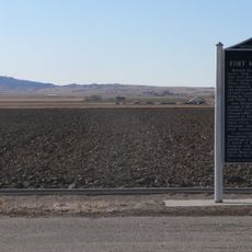
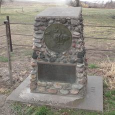
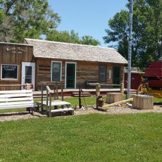
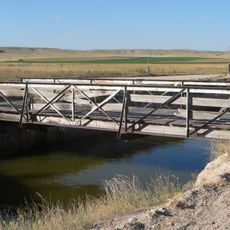
Camp Clarke Bridge Site, Archaeological site in Morrill County, United States.
Camp Clarke Bridge Site was a crossing over the North Platte River with a wooden truss structure built on pilings driven into the river's soft ground. The location in Morrill County, Nebraska served as a major waypoint for wagons traveling across the frontier.
Henry T. Clarke built this toll bridge in 1875 to provide wagons and stagecoaches a crossing between Fort Sidney and the Dakota gold fields. The structure then supported trade and migration flows through the region for decades.
The bridge location served as a key junction on the Sidney-Black Hills Trail, enabling settlers and goods to move through the frontier during westward expansion. This crossing point connected remote territories with established trade routes.
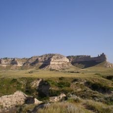
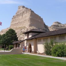
The site is located at coordinates 41.670164 latitude and -103.168911 longitude in western Nebraska, making it easy to find with a navigation device. As an archaeological area, visitors should treat the ground carefully and respect any visible remains or markers.
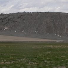
In February 1899 this location recorded Nebraska's lowest temperature, marking an extreme weather event in state history. This reveals how this frontier crossing witnessed not only human drama but also nature's most severe conditions.
The community of curious travelers
AroundUs brings together thousands of curated places, local tips, and hidden gems, enriched daily by 60,000 contributors worldwide.