Morrill County

Log in to your account

AroundUs is a community-driven map of interesting places, built by curious explorers like you. It grows with every review, story, and photo you share.
Connect to save your favorite spots, contribute locations, and create personalized routes.
Continue with Google
Continue with Apple
Continue with X
Continue with Facebook
Continue with email
By continuing, you accept our Terms and Conditions and our Privacy Policy
Create an account
Add to collection
Map
Suggest a change
Share

Morrill County, County administration district in western Nebraska, United States.

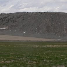
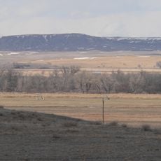
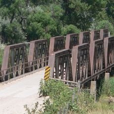
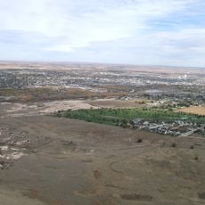
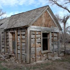
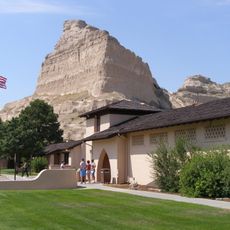
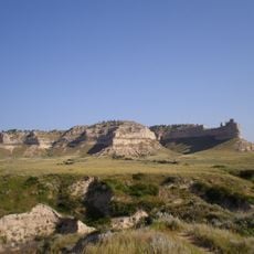
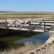
Morrill County is an administrative area in western Nebraska characterized by rolling hills and agricultural land. The North Platte River flows through its territory, shaping the natural landscape.

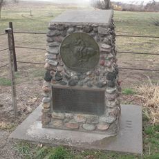
The county was established in 1908 after Charles Henry Morrill, president of the Lincoln Land Company, and separated from Cheyenne County through a voter referendum. This founding came from local efforts to create an independent administrative area.

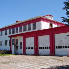
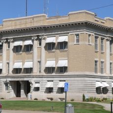
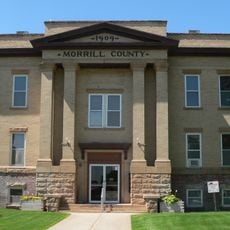
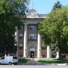
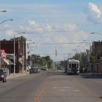
The Board of Commissioners meets every Tuesday morning at the Courthouse in Bridgeport to discuss and make decisions about local matters.

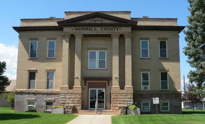
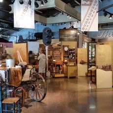
The Courthouse is located in Bridgeport and serves as the center for official services and administrative matters in the area. Visitors can find information about local services and government functions there.

The population density is extremely low, with roughly one person per square kilometer spread across the area. This makes it one of Nebraska's most sparsely settled regions where the landscape and nature clearly dominate.

Location: Nebraska

Inception: 1908

Capital city: Bridgeport

Shares border with: Box Butte County, Cheyenne County, Scotts Bluff County, Banner County, Sheridan County, Garden County

Website: http://morrillcountyne.gov

GPS coordinates: 41.69000,-103.01000

Latest update: December 10, 2025 16:02

Photos
Around this place
Carhenge
United States of America

Carhenge

51.9 km
United States of America

Crescent Lake National Wildlife Refuge

55.5 km
Lake Minatare Lighthouse
United States of America

Lake Minatare Lighthouse

48.8 km
Fort Mitchell, Nebraska
United States of America

Fort Mitchell, Nebraska

62.1 km
Bighorn Mountain
United States of America

Bighorn Mountain

46.5 km
Camp Clarke Bridge Site
United States of America

Camp Clarke Bridge Site

13.4 km
City of Alliance Central Park Fountain
United States of America

City of Alliance Central Park Fountain

47.6 km
Mud Springs Station Archeological District
United States of America

Mud Springs Station Archeological District

22.9 km
Sioux Ordnance Depot Fire & Guard Headquarters
United States of America

Sioux Ordnance Depot Fire & Guard Headquarters

53.5 km
Lisco State Aid Bridge
United States of America

Lisco State Aid Bridge

39.1 km
Box Butte County Courthouse
United States of America

Box Butte County Courthouse

47.1 km
Christ Episcopal Church
United States of America

Christ Episcopal Church

61.1 km
Northfield Park Arboretum
United States of America

Northfield Park Arboretum

57.1 km
Morrill County Courthouse
United States of America

Morrill County Courthouse

7.8 km
Schuetz Log Cabin
United States of America

Schuetz Log Cabin

22.2 km
Sidney Carnegie Library
United States of America

Sidney Carnegie Library

60.7 km
Scotts Bluff County Courthouse
United States of America

Scotts Bluff County Courthouse

56.1 km
Fontenelle Apartment House
United States of America

Fontenelle Apartment House

57 km
Scottsbluff Carnegie Library
United States of America

Scottsbluff Carnegie Library

57.4 km
Marquis Opera House
United States of America

Marquis Opera House

57.4 km
US Post Office-Scottsbluff
United States of America

US Post Office-Scottsbluff

57.2 km
Alliance Knight Museum
United States of America

Alliance Knight Museum

47.5 km
Dobby's Frontier Town
United States of America

Dobby's Frontier Town

49.3 km
Alliance Theatre
United States of America

Alliance Theatre

46.9 km
Scotts Bluff National Monument Visitor Center
United States of America

Scotts Bluff National Monument Visitor Center

59.9 km
Midwest Theater
United States of America

Midwest Theater

57.5 km
Scotts Bluff
United States of America

Scotts Bluff

59.4 km
Interstate Canal Bridge
United States of America

Interstate Canal Bridge

62.4 km
Show the full map
Reviews

Visited this place? Tap the stars to rate it and share your experience / photos with the community! Try now! You can cancel it anytime.

Administrative divisions
« Morrill County - County administration district in western Nebraska, United States » is provided by Around Us (aroundus.com). Images and texts are derived from Wikimedia project under a Creative Commons license. You are allowed to copy, distribute, and modify copies of this page, under the conditions set by the license, as long as this note is clearly visible.

Discover hidden gems everywhere you go!

From secret cafés to breathtaking viewpoints, skip the crowded tourist spots and find places that match your style. Our app makes it easy with voice search, smart filtering, route optimization, and insider tips from travelers worldwide. Download now for the complete mobile experience.

Around Us App Screenshot

A unique approach to discovering new places

Le Figaro

All the places worth exploring

France Info

A tailor-made excursion in just a few clicks

20 Minutes