Lock 26: Wood's Lock
Location: Montgomery County
GPS coordinates: 39.19077,-77.47133
Latest update: November 21, 2025 07:55
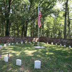
Ball's Bluff Battlefield and National Cemetery
8.3 km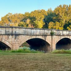
Monocacy Aqueduct
4 km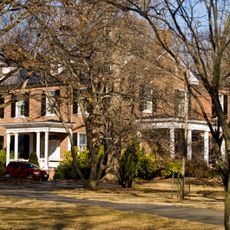
Rockland
6.2 km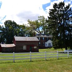
Temple Hall
5.1 km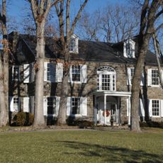
Murray Hill
9.4 km
Poolesville Historic District
6.9 km
Saleaudo
8.7 km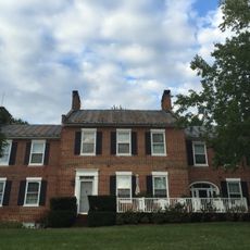
Annington
3.7 km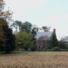
Chiswell's Inheritance
5.9 km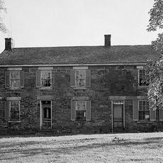
Valhalla
9.2 km
Clapham's Ferry
3.5 km
Old Chiswell Place
8.5 km
Hanover Farm House
6.1 km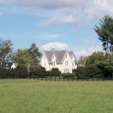
Nathan Dickerson Poole House
8.8 km
Temple Hall Farm
4.8 km
Temple Hall Farm Regional Park
5.4 km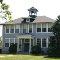
Lucketts School
6 km
Nolands Ferry I Archeological Site
6.7 km
Four Streams Golf Club
6.5 km
Poolesville Golf Course
9.3 km
Rasberry Falls Golf Club
7.9 km
Edwards Landing Lights
9.3 km
Hallowood Worship Center
8.3 km
Confederate Soldier Statue
5.8 km
Our Lady of Fatima
8.5 km
Scenic viewpoint
8.9 km
Red Rock Overlook
8.9 km
Waterfall
8.5 kmReviews
Visited this place? Tap the stars to rate it and share your experience / photos with the community! Try now! You can cancel it anytime.
Discover hidden gems everywhere you go!
From secret cafés to breathtaking viewpoints, skip the crowded tourist spots and find places that match your style. Our app makes it easy with voice search, smart filtering, route optimization, and insider tips from travelers worldwide. Download now for the complete mobile experience.

A unique approach to discovering new places❞
— Le Figaro
All the places worth exploring❞
— France Info
A tailor-made excursion in just a few clicks❞
— 20 Minutes