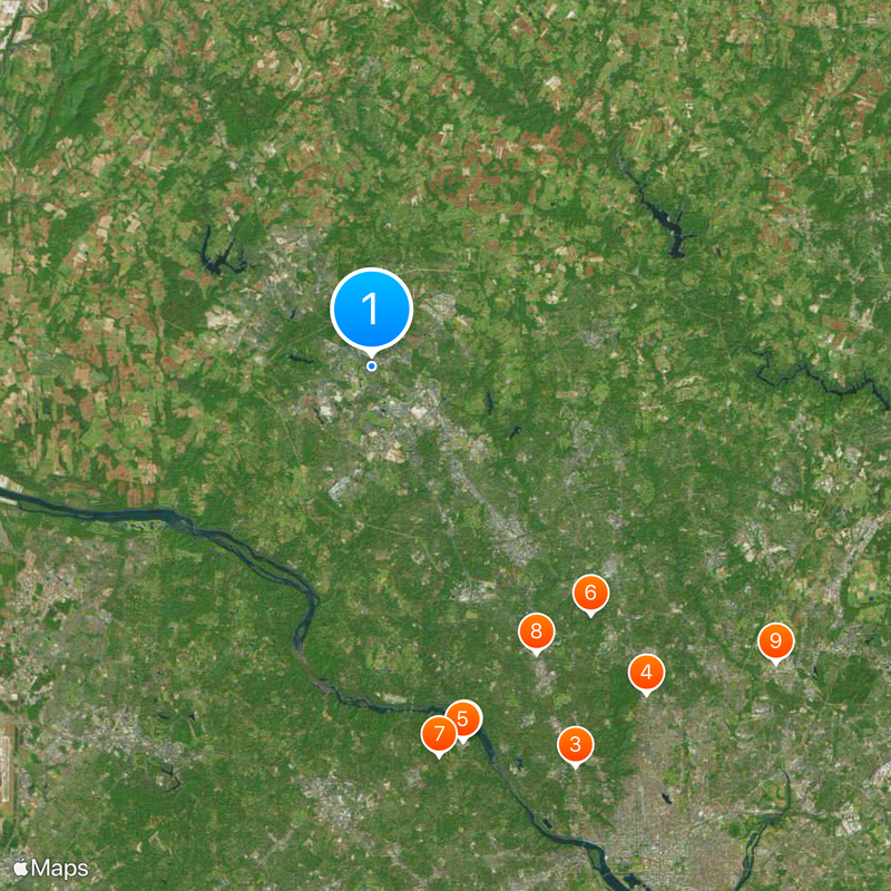
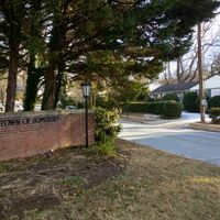
Montgomery County, County in Maryland, United States
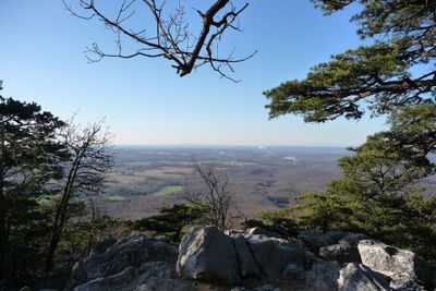
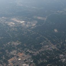
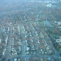
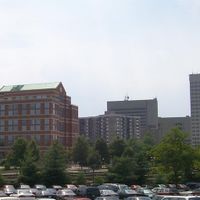
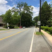
Montgomery County sits on a plateau between Frederick County, the Patuxent River, and the Potomac River, covering roughly 507 square miles (1,313 square kilometers). The area includes towns such as Rockville, Bethesda, and Gaithersburg, stretching from central Washington to forested hills in the north.
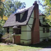
The area was formed on September 6, 1776, from lands within Frederick County and named after General Richard Montgomery. Early settlers grew tobacco and grain before the area became a residential zone for government workers in the 20th century.
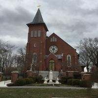
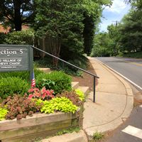
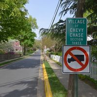
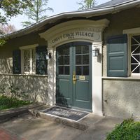
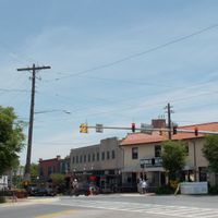
The name recalls Richard Montgomery, a general from Ireland who fell during the war for independence. Its communities follow more than 70 different traditions and religions, shaping the neighborhoods from Silver Spring to Chevy Chase.
Several Metro lines and numerous buses connect the towns within the area to Washington DC and neighboring regions. Highways such as Interstate 270 and the Capital Beltway cross the territory and enable access from every direction.
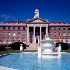
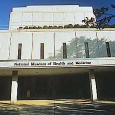
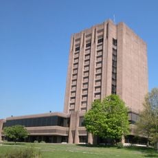
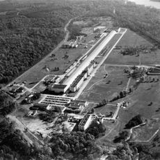
The area houses the National Institute of Standards and Technology and numerous laboratories focused on biotechnology and life sciences. This concentration of research facilities draws scientists from around the world and influences the character of many suburban neighborhoods.
The community of curious travelers
AroundUs brings together thousands of curated places, local tips, and hidden gems, enriched daily by 60,000 contributors worldwide.