Enable Location

We need your location to show you interesting places around you

Discover nearby places

Find interesting locations and hidden gems around you

Precise directions

Get accurate directions and distances to places

Your location is never shared with other users. It's only used when you tap the location button.

Hyattsville

Log in to your account

Start exploring — it's free

Trusted by 62,822 travelers worldwide

Continue with Google
Continue with Apple
or

We will send you a code to connect

By continuing, you accept our Terms and Conditions and our Privacy Policy

Check your inbox

We've sent a pincode in your inbox. Please enter the code below.

Hyattsville

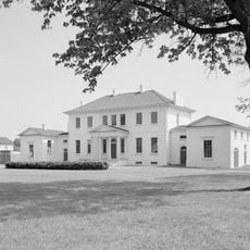
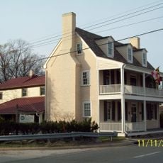
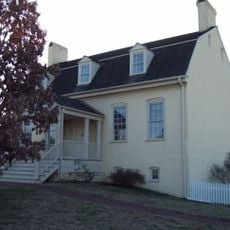
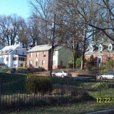
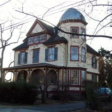
Hyattsville, Residential suburb in Prince George's County, Maryland

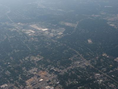
Hyattsville is a residential community in Prince George's County that developed along several rail lines north of Washington. The town includes older neighborhoods around Route 1 and newer mixed-use areas near Metro stations.

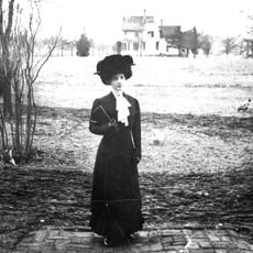
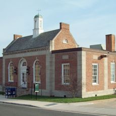
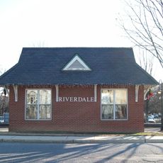
The settlement began in 1886 as a railroad stop and postal station on the road between Washington and Baltimore. The community grew during the early 20th century with the expansion of streetcar lines from the capital.

The Gateway Arts District brings studios and galleries to the downtown area, where local artists work and display their creations. The district organizes regular evening events that let visitors enter the workshops and talk with the makers.

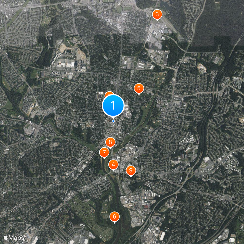
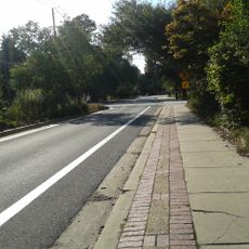
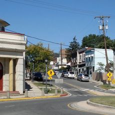
Traffic follows mainly along Route 1 and Baltimore Avenue, where shops and restaurants are located. Several Green Line Metro stations provide connections to Washington within 30 minutes.

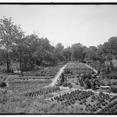
The town manages two publicly accessible food forests where fruit trees, berry bushes, and nut trees grow. Residents and visitors can freely gather produce and greens during harvest seasons.

The community of curious travelers

AroundUs brings together thousands of curated places, local tips, and hidden gems, enriched daily by 60,000 contributors worldwide.

Start exploring
Founders
Christopher Clarke Hyatt
Elevation above the sea
32 m
Shares border with
University Park, Brentwood, North Brentwood
GPS coordinates
38.95294,-76.94087
Latest update
December 13, 2025 19:27
Around this place
DeMatha Catholic High School
United States of America

DeMatha Catholic High School

585 m
College Park Airport
United States of America

College Park Airport

3.3 km
Peace Cross
United States of America

Peace Cross

1.5 km
Riversdale
United States of America

Riversdale

1.1 km
Bladensburg Dueling Grounds
United States of America

Bladensburg Dueling Grounds

3.1 km
Northwest Branch Anacostia River
United States of America

Northwest Branch Anacostia River

1.2 km
Northwest Branch Trail
United States of America

Northwest Branch Trail

828 m
Bostwick
United States of America

Bostwick

1.8 km
George Washington House
United States of America

George Washington House

1.3 km
William Hilleary House
United States of America

William Hilleary House

1.6 km
Old Town College Park
United States of America

Old Town College Park

1.5 km
Calvert Hills Historic District
United States of America

Calvert Hills Historic District

2.4 km
Market Master's House
United States of America

Market Master's House

1.6 km
Hyattsville Historic District
United States of America

Hyattsville Historic District

646 m
Ash Hill
United States of America

Ash Hill

3.4 km
Hilltop Manor
United States of America

Hilltop Manor

1.5 km
Harry Smith House
United States of America

Harry Smith House

1.1 km
West Riverdale Historic District
United States of America

West Riverdale Historic District

1.2 km
Cory House
United States of America

Cory House

3.2 km
Bladensburg Road Bridge
United States of America

Bladensburg Road Bridge

1.6 km
United States Post Office–Hyattsville Main
United States of America

United States Post Office–Hyattsville Main

49 m
Mount Rainier Historic District
United States of America

Mount Rainier Historic District

2.4 km
Riverdale Park Historic District
United States of America

Riverdale Park Historic District

1.5 km
College Heights Estates Historic District
United States of America

College Heights Estates Historic District

2.8 km
Marenka House
United States of America

Marenka House

3.5 km
North Brentwood Historic District
United States of America

North Brentwood Historic District

1.3 km
Bladensburg Park Pedestrian Bridge
United States of America

Bladensburg Park Pedestrian Bridge

1.8 km
College Park Aviation Museum
United States of America

College Park Aviation Museum

3.3 km
Show the full map
« Hyattsville - Residential suburb in Prince George's County, Maryland » is provided by Around Us (aroundus.com). Images and texts are derived from Wikimedia project under a Creative Commons license. You are allowed to copy, distribute, and modify copies of this page, under the conditions set by the license, as long as this note is clearly visible.

Discover hidden gems everywhere you go!

From secret cafés to breathtaking viewpoints, skip the crowded tourist spots and find places that match your style. Our app makes it easy with voice search, smart filtering, route optimization, and insider tips from travelers worldwide. Download now for the complete mobile experience.

Around Us App Screenshot

A unique approach to discovering new places

Le Figaro

All the places worth exploring

France Info

A tailor-made excursion in just a few clicks

20 Minutes

Around Us
Travel Guide & Maps
Download

Send to your phone

QR Code
1

Open the camera app on your mobile.

2

Point at the QR code with your camera. A notification will appear.

3

Tap the notification to open the link.