Pictograph Point
Location: Montezuma County
GPS coordinates: 37.17166,-108.49398
Latest update: October 30, 2024 16:03

Mesa Verde Administrative District
1.5 km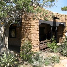
Chapin Mesa Archeological Museum
1.5 km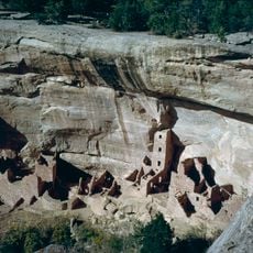
Square Tower House
657 m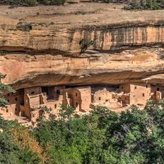
Spruce Tree House
1.5 km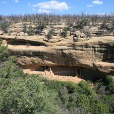
Fire Temple
1.5 km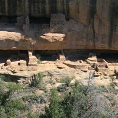
New Fire House
1.6 km
Petroglyph Point Trail
406 m
Sun Point Pueblo
1.8 km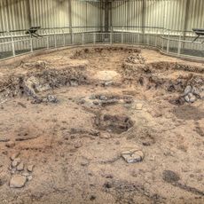
Pithouse
520 m
Mesa Top Sites
1.3 km
Spruce Tree House Trail
1.5 km
Mesa Verde Community Building
1.5 km
Mesa Verde Post Office
1.4 km
Mesa Verde Superintendent's Residence
1.4 km
Echo Cliff
821 m
Mesa Verde Administrative Building
1.4 km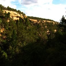
Spruce Tree Canyon
1.3 km
Pictograph Point
8 m
Mesa Verde Ranger Dormitory
1.6 km
Square Tower House
676 m
Spruce Tree House
1.5 km
Fire Temple
1.5 km
Fire Temple Overlook
1.5 km
Echo Cliff
826 m
Thomas House
1.5 km
Echo House
729 m
Square Tower House Overlook
695 m
Navajo Canyon Overlook
541 mReviews
Visited this place? Tap the stars to rate it and share your experience / photos with the community! Try now! You can cancel it anytime.
Discover hidden gems everywhere you go!
From secret cafés to breathtaking viewpoints, skip the crowded tourist spots and find places that match your style. Our app makes it easy with voice search, smart filtering, route optimization, and insider tips from travelers worldwide. Download now for the complete mobile experience.

A unique approach to discovering new places❞
— Le Figaro
All the places worth exploring❞
— France Info
A tailor-made excursion in just a few clicks❞
— 20 Minutes