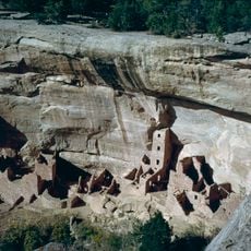
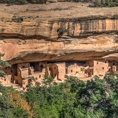
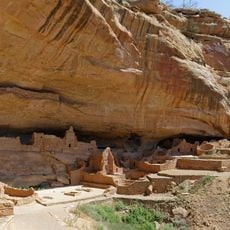
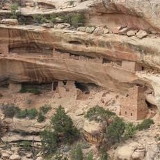
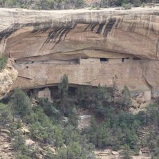
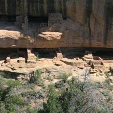
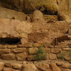
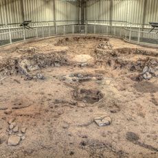
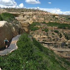
Mesa Verde Administrative District, National Park Service historic district in Montezuma County, US.
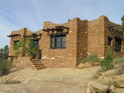
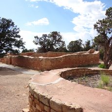
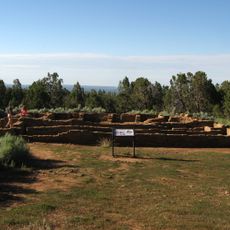
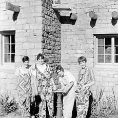
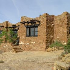
Mesa Verde Administrative District is a complex of six buildings constructed between 1921 and 1927 on Chapin Mesa at an elevation of roughly 6,000 feet (1,830 meters). The site spans three acres and connects a museum, headquarters building, post office, ranger dormitory, superintendent residence, and community building through paved pathways.
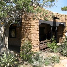
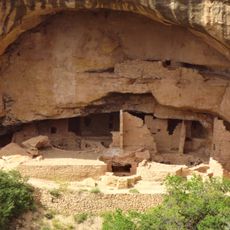
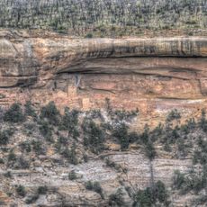
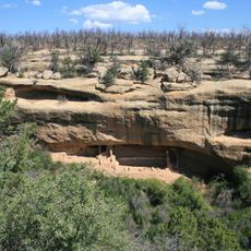
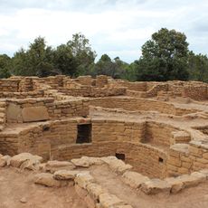
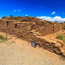
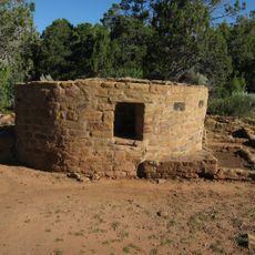
The buildings were constructed under archaeologist Jesse Nussbaum's direction using sandstone salvaged from ancient structures in the area. This construction effort became a turning point in how the National Park Service approached administrative building design and influenced future park development.
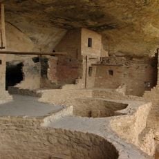
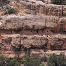
The buildings display sloped exterior walls, wooden beam ceilings, and plastered interiors that reflect how indigenous peoples built their structures in this region. Visitors walking through the district can see how these architectural choices echo the construction methods that have defined Southwestern communities.
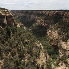
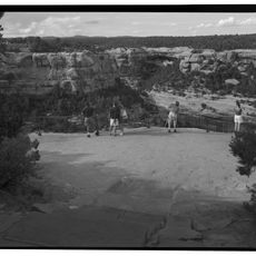
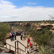
The site is connected by paved walkways that make it easy to move between buildings and take advantage of the mesa's relatively flat terrain. Visitors should account for the elevation of roughly 6,000 feet, which can make physical exertion more tiring for some people, so a slower pace is recommended.
The complex pioneered the use of culturally informed design principles within the National Park Service, establishing a new standard for how administrative buildings could reflect local heritage. This approach demonstrated that park buildings did not have to follow generic styles but could honor the place's own architectural traditions.
The community of curious travelers
AroundUs brings together thousands of curated places, local tips, and hidden gems, enriched daily by 60,000 contributors worldwide.