Twin Rocks
Location: San Juan County
GPS coordinates: 37.28778,-109.54772
Latest update: November 23, 2025 08:33
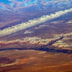
Comb Ridge
17.8 km
St. Christopher's Episcopal Mission
3 km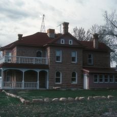
Lemuel H. Redd Jr. House
671 m
Bluff Historic District
275 m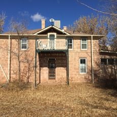
Joseph Frederick Adams House
430 m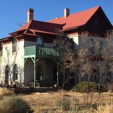
James Bean Decker House
915 m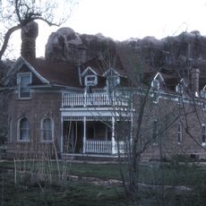
John Albert Scorup House
251 m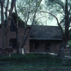
Jens Nielson House
786 m
White Rock Point
7.6 km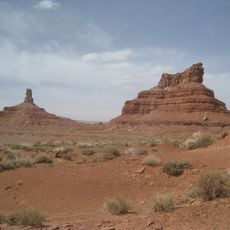
Setting Hen Butte
23 km
Four Foot Rapids
19.3 km
Turners Bluff
12.2 km
Split Level Ruin
14 km
Yanito Baahozho
670 m
Snow Flat Spring Cave
23.3 km
Split Level Ruin
14 km
River House Ruin
14.4 km
Wolfman Panel
8.8 km
Twin Rocks Trading Post
68 m
Cathedral Ruin
13.4 km
W
21.5 km
Recapture Pocket Overlook
6.8 km
Recapture Pocket Viewpoint
8.3 km
Scenic viewpoint
19.2 km
Scenic viewpoint
21.8 km
Scenic viewpoint
15.4 km
Waterfall
17.6 km
Waterfall
22.4 kmReviews
Visited this place? Tap the stars to rate it and share your experience / photos with the community! Try now! You can cancel it anytime.
Discover hidden gems everywhere you go!
From secret cafés to breathtaking viewpoints, skip the crowded tourist spots and find places that match your style. Our app makes it easy with voice search, smart filtering, route optimization, and insider tips from travelers worldwide. Download now for the complete mobile experience.

A unique approach to discovering new places❞
— Le Figaro
All the places worth exploring❞
— France Info
A tailor-made excursion in just a few clicks❞
— 20 Minutes