Diagenetic Arch
Location: Coconino County
GPS coordinates: 36.96778,-111.20833
Latest update: November 24, 2025 05:02
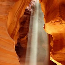
Antelope Canyon
19 km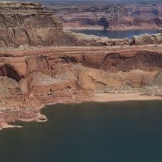
Gunsight Butte
15.5 km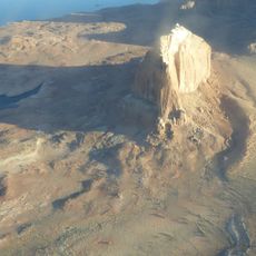
Gregory Butte
9.8 km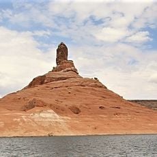
Cookie Jar Butte
16.1 km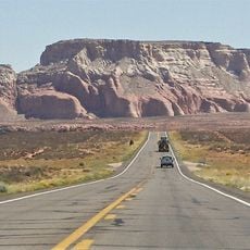
LeChee Rock
14.7 km
Dominguez Butte
9.4 km
Boundary Butte
7.9 km
Antelope Canyon X
22 km
Lower Antelope Canyon
19.6 km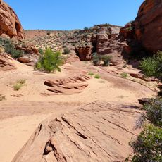
Lake Powell Navajo Tribal Park
7.5 km
Navajo Canyon
15.8 km
Navajo Arch
10.5 km
Arch in the Sky
20.6 km
Lower Antelope Canyon
19.4 km
Rattlesnake Canyon
19 km
Tsai Skizzi
20.7 km
Fernoles Natural Bridge
14.7 km
Navajo Arch
10.5 km
Antelope Canyon X
18.7 km
Jett Arch
3.6 km
Canyon walking way after kayak
19.6 km
Toilet Bowl Arch (collapse)
19.1 km
Ken's Tours
19.5 km
Dixie Ellis Tours
19.4 km
Lower Antelope Canyon
19.5 km
Alstrom Point
17.2 km
Antelope Point
20.3 km
Scenic viewpoint
17.1 kmReviews
Visited this place? Tap the stars to rate it and share your experience / photos with the community! Try now! You can cancel it anytime.
Discover hidden gems everywhere you go!
From secret cafés to breathtaking viewpoints, skip the crowded tourist spots and find places that match your style. Our app makes it easy with voice search, smart filtering, route optimization, and insider tips from travelers worldwide. Download now for the complete mobile experience.

A unique approach to discovering new places❞
— Le Figaro
All the places worth exploring❞
— France Info
A tailor-made excursion in just a few clicks❞
— 20 Minutes