Tobacco Valley Historical Village
Location: Eureka
Website: http://tobaccovalleyhistory.org
GPS coordinates: 48.87702,-115.05223
Latest update: November 18, 2025 15:39
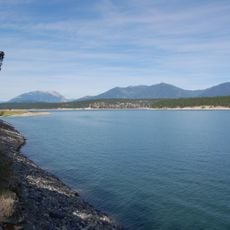
Lake Koocanusa
40.5 km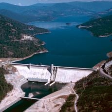
Libby Dam
55.5 km
Kikomun Creek Provincial Park
43.2 km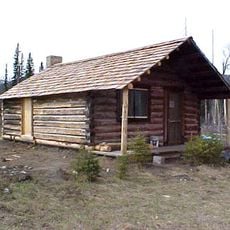
McCarthy Homestead Cabin
53.9 km
Polebridge Ranger Station Historic District
57.5 km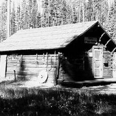
Kintla Lake Ranger Station
52.2 km
Gilnockie Provincial Park
49.9 km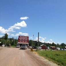
W.L. Adair General Mercantile Historic District
57.8 km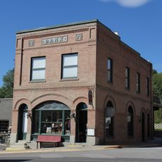
Farmers and Merchants State Bank
393 m
Morrissey Provincial Park
57.2 km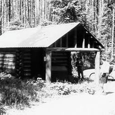
Ford Creek Patrol Cabin
50.6 km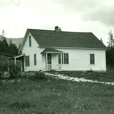
Ant Flat Ranger Station
21.4 km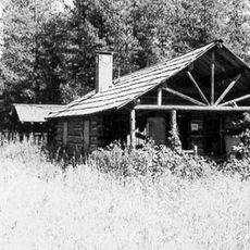
Kishenehn Ranger Station Historic District
47 km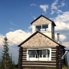
Hornet Lookout
39.5 km
Wurtz Homestead
48.6 km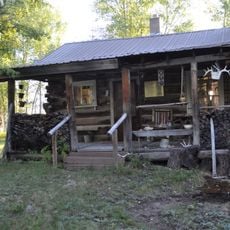
Vance Lodge
56.8 km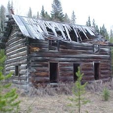
J.K. Miller Homestead
53.1 km
Billy Kruse Cabin
44.6 km
Elko Park
47.3 km
Gilnockie Creek Ecological Reserve
46.3 km
Stone Hill
20.3 km
Indian Springs Golf Course
5.9 km
Fernie House
57.5 km
Turtle Log
41.8 km
Scenic viewpoint
43.8 km
Scenic viewpoint
21.2 km
Scenic viewpoint
20.7 km
Whale Creek Falls
33 kmReviews
Visited this place? Tap the stars to rate it and share your experience / photos with the community! Try now! You can cancel it anytime.
Discover hidden gems everywhere you go!
From secret cafés to breathtaking viewpoints, skip the crowded tourist spots and find places that match your style. Our app makes it easy with voice search, smart filtering, route optimization, and insider tips from travelers worldwide. Download now for the complete mobile experience.

A unique approach to discovering new places❞
— Le Figaro
All the places worth exploring❞
— France Info
A tailor-made excursion in just a few clicks❞
— 20 Minutes