
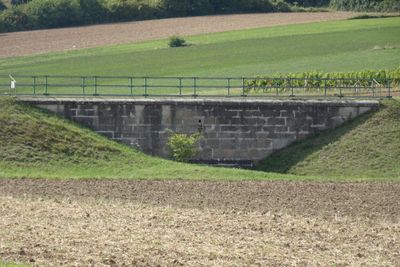
Teil der 1. Wiener Hochquellenleitung, Denkmalgeschütztes Objekt in Weikersdorf am Steinfelde (129165)
Location: Weikersdorf am Steinfelde
Part of: First Vienna Mountain Spring Pipeline
GPS coordinates: 47.81928,16.12944
Latest update: March 4, 2025 12:13
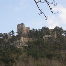
Burgruine Emmerberg
2.3 km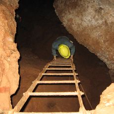
Eisensteinhöhle
1.6 km
Engelsberg Marble
803 m
Schloss Brunn
2.1 km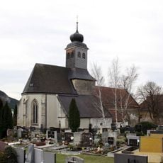
St. Peter im Moos
2.7 km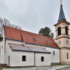
Filialkirche Mariae Himmelfahrt, Winzendorf
2.2 km
Prosset
1.9 km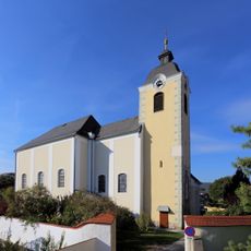
Pfarrkirche Weikersdorf am Steinfelde
1.6 km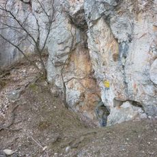
Große Kollerhöhle
2 km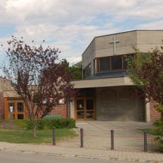
St. Josef der Arbeiter
1.6 km
Flur-/Wegkapelle
1.6 km
Kreuzkapelle
1.7 km
Pfarrhof Weikersdorf am Steinfelde
1.6 km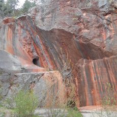
Engelsberg quarry
803 m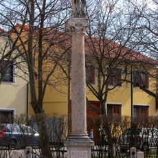
Figurenbildstock Hl. Sebastian
1.9 km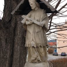
Figurenbildstock Hl. Johannes Nepomuk
1.9 km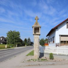
Bildstock
2 km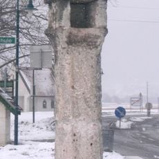
Bildstock
1.4 km
Ehemaliges Schulhaus, Muthmannsdorf
2.7 km
Pfarrhof, Muthmannsdorf
2.7 km
Karner, Winzendorf
2.2 km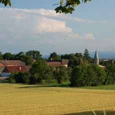
Schloss Brunn, Bad Fischau-Brunn
2.1 km
Steinfeldhof, Weikersdorf
1.9 km
Teil der 1. Wiener Hochquellenleitung
1.5 km
Bildstock
2.1 km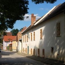
Schafflermühle
2.4 km
Bildstock, Muthmannsdorf
2.7 km
Teil der 1. Wiener Hochquellenleitung
2.4 kmReviews
Visited this place? Tap the stars to rate it and share your experience / photos with the community! Try now! You can cancel it anytime.
Discover hidden gems everywhere you go!
From secret cafés to breathtaking viewpoints, skip the crowded tourist spots and find places that match your style. Our app makes it easy with voice search, smart filtering, route optimization, and insider tips from travelers worldwide. Download now for the complete mobile experience.

A unique approach to discovering new places❞
— Le Figaro
All the places worth exploring❞
— France Info
A tailor-made excursion in just a few clicks❞
— 20 Minutes