
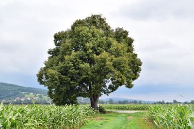
Linde in Feldkirchen, natural monument of Upper Austria, Austria
Location: Urfahr-Umgebung District
GPS coordinates: 48.35509,14.05962
Latest update: March 6, 2025 13:05
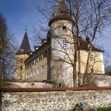
Mühldorf Castle
2.3 km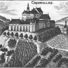
Ruine Oberwallsee
1.5 km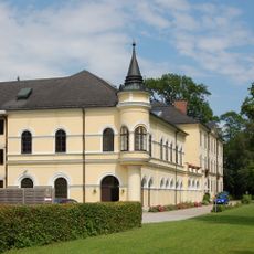
Schloss Bergheim
779 m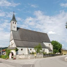
Church of St. Leonhard in Pesenbach
1.1 km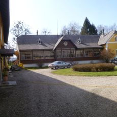
Schloss Pesenbach
1.2 km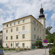
Kneipp-Kuranstalt Bad Mühllacken
1.2 km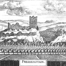
Burgruine Freudenstein
2.8 km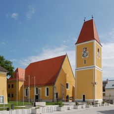
Pfarrkirche St. Michael (Feldkirchen an der Donau)
1.3 km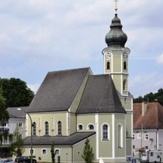
Pfarrkirche Aschach an der Donau
2.9 km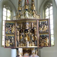
Flügelaltar Pesenbach
1.1 km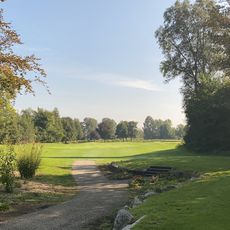
Golfclub Donau
2.7 km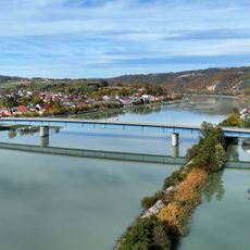
Aschach Danube Bridge
2.6 km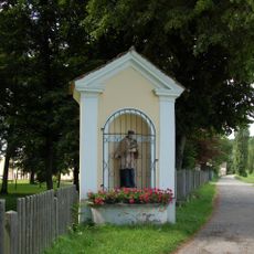
Wegkapelle Bergheim
642 m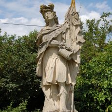
Florian-Statue
1.2 km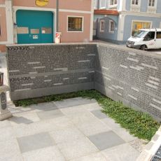
Kriegerdenkmal
1.3 km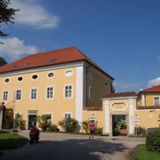
Verwalterstöckl (Schloss Mühldorf)
2.3 km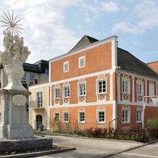
Ehem. Benefiziatenhaus, sog. Sindlhuberhaus
2.9 km
Wohnhaus, Weißgerberhaus
2.9 km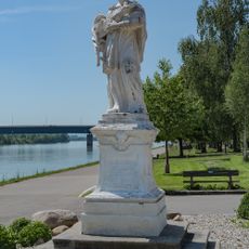
Figurenbildstock hl. Johannes Nepomuk
2.8 km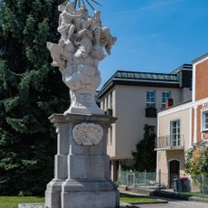
Mariensäule, Aschach an der Donau
2.8 km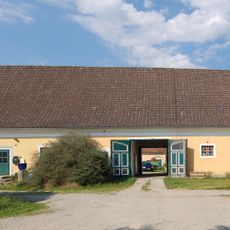
Meierhof
2.2 km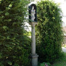
Mariensäule
2.3 km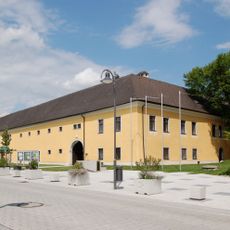
Pfarrhof
1.2 km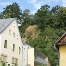
Befestigungsanlage Niedernburg in Oberlandshaag
2.5 km
Wohn- und Geschäftshaus, Binderwirtshaus
2.9 km
Wohn- und Geschäftshaus, Kupferschmiedhaus
2.9 km
Wohnhaus
2.9 km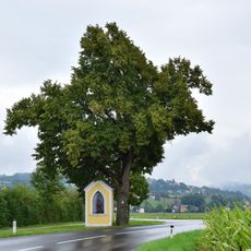
Linde bei der Herz Jesu Kapelle in Feldkirchen
791 mReviews
Visited this place? Tap the stars to rate it and share your experience / photos with the community! Try now! You can cancel it anytime.
Discover hidden gems everywhere you go!
From secret cafés to breathtaking viewpoints, skip the crowded tourist spots and find places that match your style. Our app makes it easy with voice search, smart filtering, route optimization, and insider tips from travelers worldwide. Download now for the complete mobile experience.

A unique approach to discovering new places❞
— Le Figaro
All the places worth exploring❞
— France Info
A tailor-made excursion in just a few clicks❞
— 20 Minutes