Mundaring Weir Road, Connecting road between Mundaring and Kalamunda, Western Australia.
Mundaring Weir Road is a connecting route between the towns of Mundaring and Kalamunda with a single lane in each direction. The route runs approximately 24 kilometers through forests and farmland, linking Perth's eastern suburbs with more rural areas.
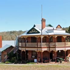
The route began as a rough track and was upgraded in the 1930s to improve access to the Goldfields Water Supply Scheme. These improvements created a more reliable connection to the region's water storage facilities.
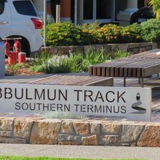
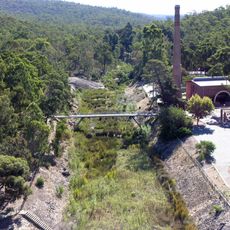
The road traces the former path of the Mundaring Weir Railway line, which once carried passengers and supplies through the region. Walking or driving this route today connects visitors to a transportation heritage that shaped how the area grew.
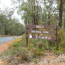
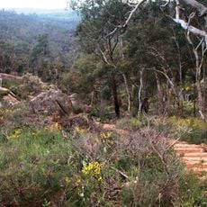
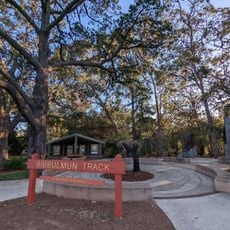
The road provides access to Beelu National Park, Mount Gunjin, and forest reserves while following Tourist Drive 207 between the two towns. Planning stops at viewpoints and walking trails along the route helps visitors make the most of the journey.
The route crosses the Helena River at multiple points as it winds through forests and farmland. These river crossings offer travelers unexpected moments to notice the waterways that shape the region.
The community of curious travelers
AroundUs brings together thousands of curated places, local tips, and hidden gems, enriched daily by 60,000 contributors worldwide.