
Alpriesebruecke, bridges the Alpriesebach in Dornbirn, Vorarlberg, Austria
Location: Dornbirn
Elevation above the sea: 578 m
GPS coordinates: 47.38562,9.77719
Latest update: March 3, 2025 12:59

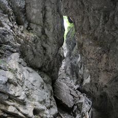
Rappenlochschlucht
299 m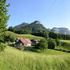
Karren
2 km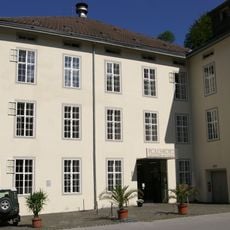
Rolls-Royce Museum
554 m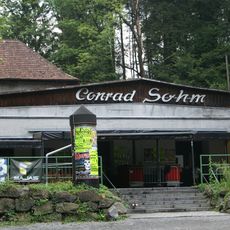
Conrad Sohm
1.2 km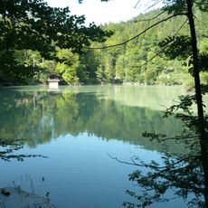
Staufensee
571 m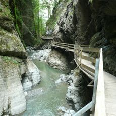
Alplochschlucht
999 m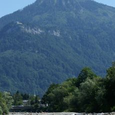
Staufen
2 km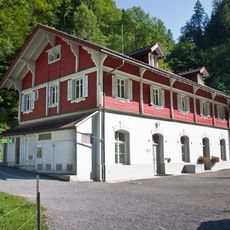
Ebensand power station
838 m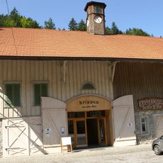
Krippenmuseum Dornbirn
491 m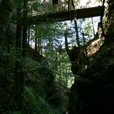
Ammannsbrücke
941 m
Bürgle
2.2 km
Kapelle Maria Schnee, Kehlegg
1.8 km
Gütle
517 m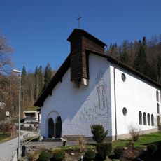
Fatimakapelle Gütle (Dornbirn)
798 m
Waldfriedbruecke
302 m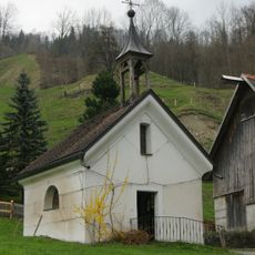
Salzmanner Kapelle Hl. Maria
1 km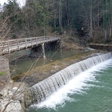
Plattenbruecke
931 m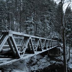
Rappenloch bridge
286 m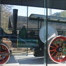
Tricycle road roller J. A. Maffei
2.4 km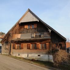
Bauernhaus
1.9 km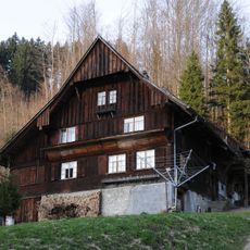
Bauernhaus
1.7 km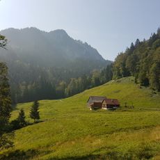
Spaetenbachalpe
1.8 km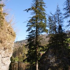
Natural monument of silver fir
330 m
Campsite in Dornbirn
2.2 km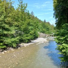
Plattenbruecke
686 m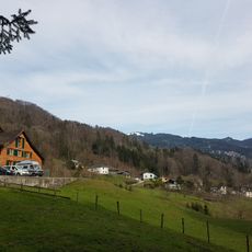
Salzmann (Dornbirn)
1 km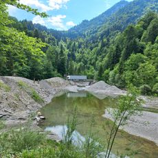
Staufenseebypass
774 m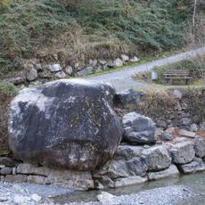
Erratic block out of Granite
359 mReviews
Visited this place? Tap the stars to rate it and share your experience / photos with the community! Try now! You can cancel it anytime.
Discover hidden gems everywhere you go!
From secret cafés to breathtaking viewpoints, skip the crowded tourist spots and find places that match your style. Our app makes it easy with voice search, smart filtering, route optimization, and insider tips from travelers worldwide. Download now for the complete mobile experience.

A unique approach to discovering new places❞
— Le Figaro
All the places worth exploring❞
— France Info
A tailor-made excursion in just a few clicks❞
— 20 Minutes