Sonnblickbad
Location: Rauris
Operator: Gemeinde Rauris
GPS coordinates: 47.23389,12.99844
Latest update: November 18, 2025 23:03
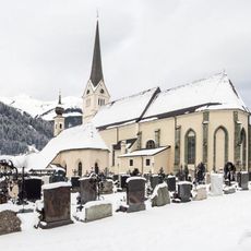
Pfarrkirche hll. Jakob und Martin, Rauris
591 m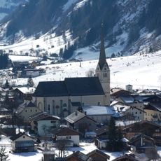
Kath. Pfarrkirche hll. Jakob und Martin
575 m
Regional history museum of the Rauris valley
916 m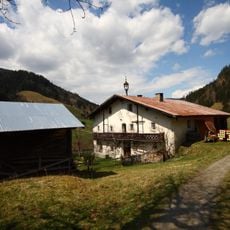
Bauernhof Waldbauer, Unterland
3.1 km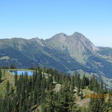
Sladinkopf
3.4 km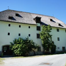
Fürstenmühle
756 m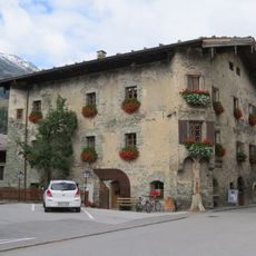
Voglmairhaus
567 m
Katzenkopf
2.8 km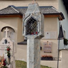
Bildstock
586 m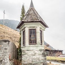
Bildstock
588 m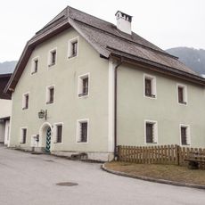
Pfarrhof
523 m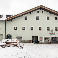
Verweserhaus
603 m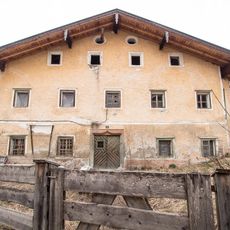
Forsthaus
434 m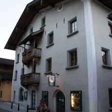
Bürgerhaus, Haniflehen
778 m
Ansitz Hohnergut
311 m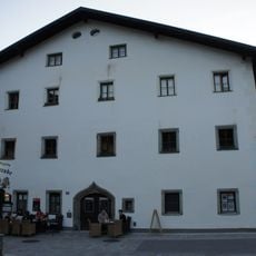
Simmerlhaus; Metzgerei
686 m
Goldwaschen
2.2 km
Greifvogelschau Hochalm
3.5 km
13th degree of longitude
636 m
Mineralien
2.2 km
Scenic viewpoint
2.8 km
Scenic viewpoint
2.7 km
Wayside cross
812 m
Wayside cross, Christianity
637 m
Wayside cross
413 m
Wayside cross
256 m
Fountain, memorial, stele
581 m
Waterfall
1.3 kmReviews
Visited this place? Tap the stars to rate it and share your experience / photos with the community! Try now! You can cancel it anytime.
Discover hidden gems everywhere you go!
From secret cafés to breathtaking viewpoints, skip the crowded tourist spots and find places that match your style. Our app makes it easy with voice search, smart filtering, route optimization, and insider tips from travelers worldwide. Download now for the complete mobile experience.

A unique approach to discovering new places❞
— Le Figaro
All the places worth exploring❞
— France Info
A tailor-made excursion in just a few clicks❞
— 20 Minutes