
Waldbad
Location: St. Jakob im Rosental
GPS coordinates: 46.52856,14.07424
Latest update: May 28, 2025 10:37
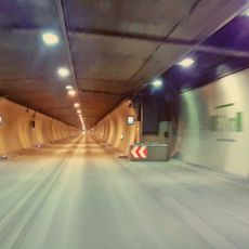
Karawanks Tunnel
4.1 km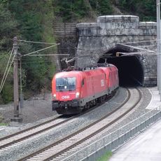
Karawanks Tunnel
3.8 km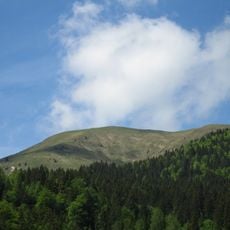
Golica
4.4 km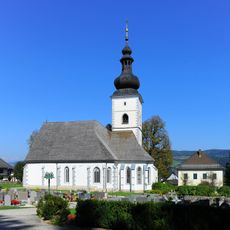
Parish church Maria Elend
681 m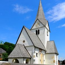
Parish church of Saint James, Ludmannsdorf
4.9 km
Burgruine Ras
3.2 km
Zikkurat-Drauwelle
2.2 km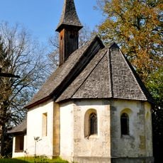
Filialkirche hl. Oswald, St. Jakob i. R.
3 km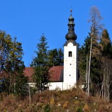
Filialkirche hl. Maria am Humitz, Treffen
4.5 km
Filialkirche Heiliger Johannes, Rosegg
5.4 km
Parish church Saint Giles, Sankt Egyden
5.3 km
Parish church Saint James, St. Jakob im Rosental
2.7 km
Kath. Filialkirche St. Leonhard zu Selkach
2.2 km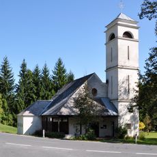
Kath. Filialkirche Christkönig, hl. Franz-Xaver
2.8 km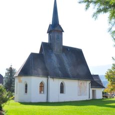
Subsidiary church Saint Dionysius, Längdorf
3.2 km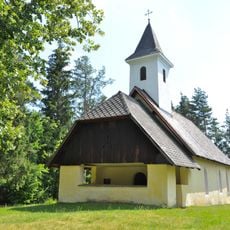
Filialkirche hl. Gertraud, Srajach
4.4 km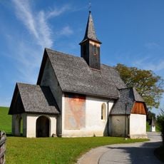
Filialkirche hl. Ursula, Schlatten (St. Jakob i. R.)
3.2 km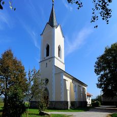
Filialkirche Sankt Peter
3.8 km
Kath. Pfarrkirche hl. Ägidius
5.2 km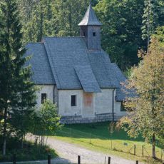
Kath. Filialkirche hl. Rupert
5.4 km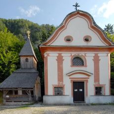
Wallfahrtsanlage mit Kapellen, Einsiedelei und Brunnen
1.2 km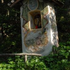
Flurkapelle
1.1 km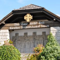
Kriegergedächtnisstätte St. Jakob im Rosental
2.8 km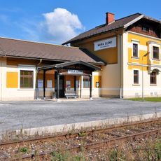
Bahnhof Maria Elend im Rosental
1.8 km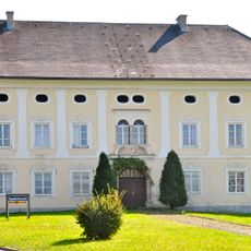
Pfarrhof St. Jakob im Rosental
2.7 km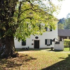
Pfarrhof Maria Elend
724 m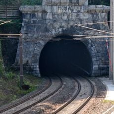
Tunnelportal
3.8 km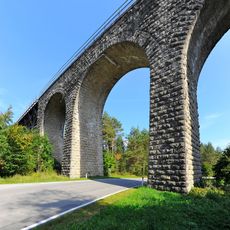
Rosenbach-Viadukt der Karawankenbahn
1.8 kmReviews
Visited this place? Tap the stars to rate it and share your experience / photos with the community! Try now! You can cancel it anytime.
Discover hidden gems everywhere you go!
From secret cafés to breathtaking viewpoints, skip the crowded tourist spots and find places that match your style. Our app makes it easy with voice search, smart filtering, route optimization, and insider tips from travelers worldwide. Download now for the complete mobile experience.

A unique approach to discovering new places❞
— Le Figaro
All the places worth exploring❞
— France Info
A tailor-made excursion in just a few clicks❞
— 20 Minutes