
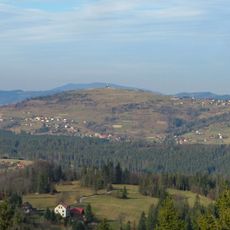
Amfiteáter
Location: Skalité
Location: okres Čadca
GPS coordinates: 49.49801,18.89443
Latest update: June 24, 2025 23:08
Ochodzita
6.9 km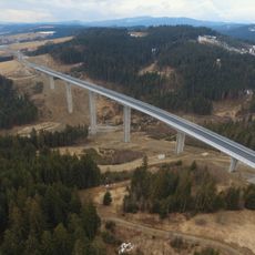
Valy Bridge
4.2 km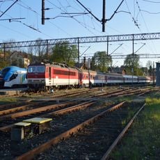
Railway Zwardoń-Skalité border crossing
5.6 km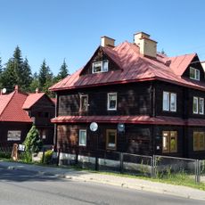
WOP post in Jaworzynka
4.4 km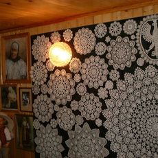
Laces Museum in Koniaków
7.1 km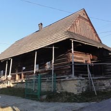
Izba Regionalna "Chata Kawuloka" w Istebnej
5.8 km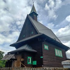
Church of Saints Cyril and Methodius
5.1 km
WOP post in Zwardoń
5.6 km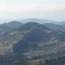
Skalanka
5.2 km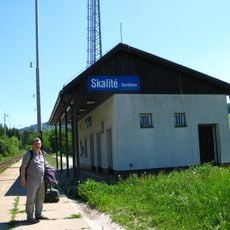
Skalité-Serafínov railway stop
5 km
Bukovec
6.4 km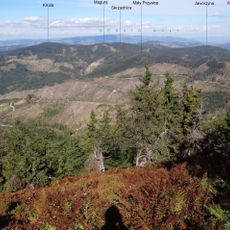
Kikula
6.8 km
Kawulok’s Cottage in Istebna
7.1 km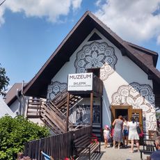
Centrum Koronki Koniakowskiej
7 km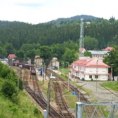
Zwardoń Border Control Post
5.9 km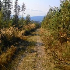
Sołowy Wierch
4.9 km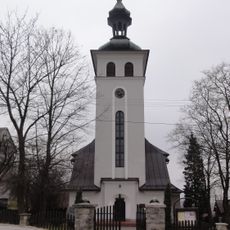
Lutheran church in Istebna
6.9 km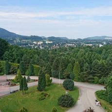
Izba Pamięci Marii Gwarek
7.1 km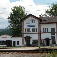
Čierne pri Čadci railway station
5.4 km
Muzeum Regionalne "Na Grapie" w Jaworzynce
5.3 km
Javorské
5.5 km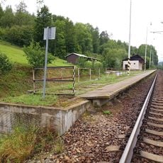
Skalité-Kudlov
3 km
Čierne-Polesie railway stop
2.9 km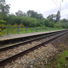
Čierne pri Čadci zastávka railway halt
3.8 km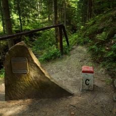
Nejvýchodnější bod České republiky u Bukovce
6.4 km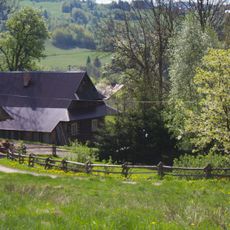
No. 51 building in Istebna
7 km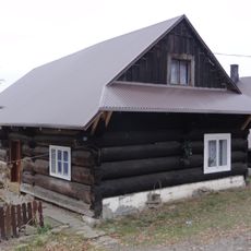
No. 133 building in Istebna
7.2 km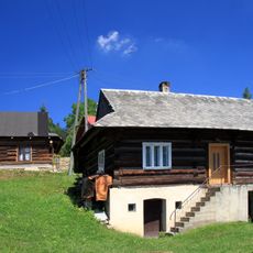
Wooden houses on the road Istebna - Koniaków
7.1 kmReviews
Visited this place? Tap the stars to rate it and share your experience / photos with the community! Try now! You can cancel it anytime.
Discover hidden gems everywhere you go!
From secret cafés to breathtaking viewpoints, skip the crowded tourist spots and find places that match your style. Our app makes it easy with voice search, smart filtering, route optimization, and insider tips from travelers worldwide. Download now for the complete mobile experience.

A unique approach to discovering new places❞
— Le Figaro
All the places worth exploring❞
— France Info
A tailor-made excursion in just a few clicks❞
— 20 Minutes