Luontotupa
Location: Pöytyä
Operator: Metsähallitus
GPS coordinates: 60.74042,22.41376
Latest update: November 15, 2025 09:19
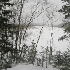
Kurjenrahka National Park
2.8 km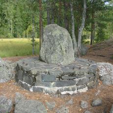
Kuhankuono
354 m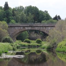
Aurajoki railway bridge
14.2 km
Vaskijärvi Strict Nature Reserve
14.5 km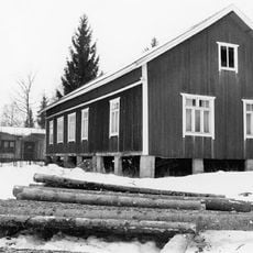
Mäkiäinen workers' house
10.4 km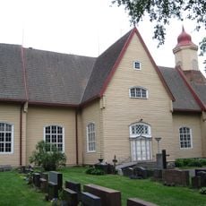
Pöytyä Church
12.8 km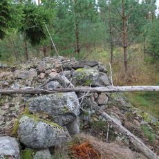
Tontereenmäki
12.6 km
Raivaaja
12.7 km
Hiidenkivi
8.1 km
Sahlbergien sukuhauta
9.8 km
Äijäkivi
13.5 km
Isovaha
8.8 km
Anivehmaanmäki
13.7 km
Anttila
10.5 km
Sillankorvantie
14 km
Kaijankivi (bato sa Finlandia, Varsinais-Suomi)
13.9 km
Kotkankivi
3.9 km
Himolan kesäteatteri
9.3 km
Pöytyän kesäteatteri
12.4 km
Hiihtokeskuksen Uimapaikka
11.5 km
Kurjenrahkan portti
620 m
Overview point
6.5 km
Overview tower
1.9 km
Paltanvuori
3.8 km
Scenic viewpoint
465 m
Ahti Jalonen
604 m
Sankaripatsas
12.8 km
Tortinlinna
6.2 kmReviews
Visited this place? Tap the stars to rate it and share your experience / photos with the community! Try now! You can cancel it anytime.
Discover hidden gems everywhere you go!
From secret cafés to breathtaking viewpoints, skip the crowded tourist spots and find places that match your style. Our app makes it easy with voice search, smart filtering, route optimization, and insider tips from travelers worldwide. Download now for the complete mobile experience.

A unique approach to discovering new places❞
— Le Figaro
All the places worth exploring❞
— France Info
A tailor-made excursion in just a few clicks❞
— 20 Minutes