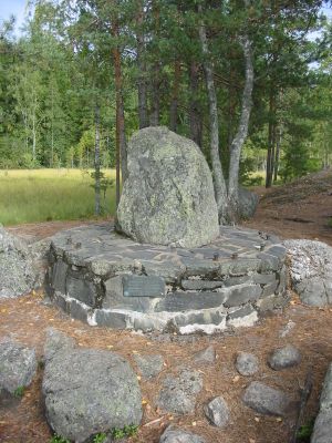
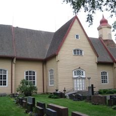
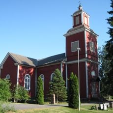
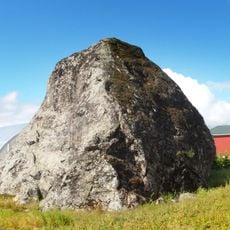
Kuhankuono, Historic boundary marker in Turku countryside, Finland
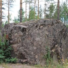
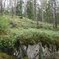
Kuhankuono is an ancient boundary marker standing where seven municipalities meet in the countryside south of Turku. This stone marks a point that has defined territorial divisions for centuries across the Finnish landscape.
The marker was first mentioned in written records in 1381 as a border between Masku and Nousiainen. Ancient tools discovered near the site suggest people had lived and worked in this region long before this official documentation.
The name comes from medieval fishing culture and means Pike's Snout in the local language, showing how water and hunting shaped community identity. Walking here, you sense how territorial borders reflected the lives of people connected to these lands.
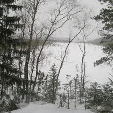
This location connects to hiking trails that extend into Kurjenrahka National Park, making it a natural waypoint for outdoor exploration. The site is reachable from Turku city center in roughly 30 minutes for those wanting to combine a short journey with countryside walking.
This marker sits at a convergence point where seven different municipalities meet, a rare configuration in Finland. Such complex boundary intersections offer a glimpse into how administrative territories were historically organized and sometimes overlap in unexpected ways.
The community of curious travelers
AroundUs brings together thousands of curated places, local tips, and hidden gems, enriched daily by 60,000 contributors worldwide.