Plage des Sables Rouges
Location: France métropolitaine
GPS coordinates: 47.71621,-3.48309
Latest update: November 17, 2025 21:34
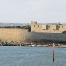
Fort-Bloqué
2.7 km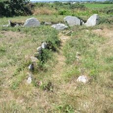
Tuchenn Pol
442 m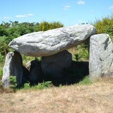
Dolmen d'Ar Roc'h
2.2 km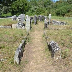
Dolmen du Cruguellic
2.3 km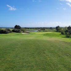
Golf de Ploemeur Océan
771 m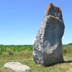
Menhir de Courégant
1.1 km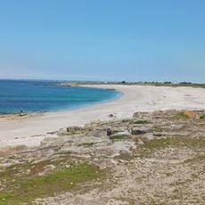
Plage naturiste des Kaolins
851 m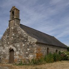
Chapelle Saint-Jude-et-Saint-Simon de Saint-Jude
1.3 km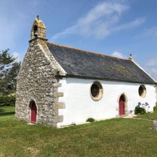
Chapelle Saint-Léonard de Kerantonel
1.5 km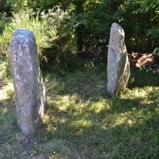
Dolmen de Caudric
2.9 km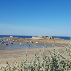
Plage de Pen er Malo
3.2 km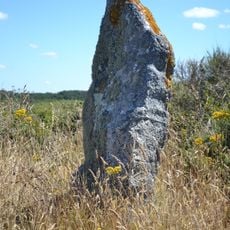
Menhir de Kerroch
2.1 km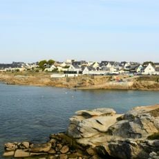
Plage de Port-Blanc
2.4 km
Scenic viewpoint
909 m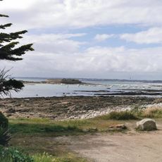
Plage du Courégant
1 km
Croix
1.5 km
Scenic viewpoint
882 m
Scenic viewpoint
903 m
Menhir de Courégant
1.1 km
Work of art
2.6 km
Croix
2.2 km
Archaeological site
451 m
Menhir de Kerroc'h
2.1 km
Menhir du Fort du Talut
3.3 km
Dolmen de Cruguellic
2.3 km
Croix
2.3 km
Caudric
2.9 km
Crash P2V7 du 4/02/1970
2.8 kmReviews
Visited this place? Tap the stars to rate it and share your experience / photos with the community! Try now! You can cancel it anytime.
Discover hidden gems everywhere you go!
From secret cafés to breathtaking viewpoints, skip the crowded tourist spots and find places that match your style. Our app makes it easy with voice search, smart filtering, route optimization, and insider tips from travelers worldwide. Download now for the complete mobile experience.

A unique approach to discovering new places❞
— Le Figaro
All the places worth exploring❞
— France Info
A tailor-made excursion in just a few clicks❞
— 20 Minutes