Col. W.M.Ellis
Location: Mettur
Creator: Architect of Mettur Dam
Creator: Architect of Mettur Dam
GPS coordinates: 11.80166,77.80638
Latest update: October 24, 2025 04:46
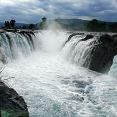
Hogenakkal Falls
35.5 km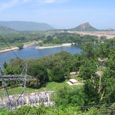
Mettur Dam
383 m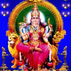
Sri Ramalinga Sowdeswari Amman
13.6 km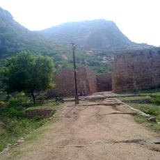
Sankagiri Fort
36.5 km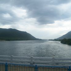
Stanley Reservoir
589 m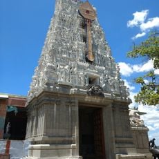
Pachaimalai Subramanya Swamy Temple
11 km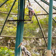
Kurumbapatti Zoological Park
40.2 km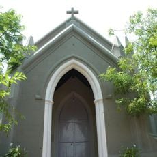
Holy Trinity Church, Yercaud
44.2 km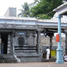
Salem Sugawaneswar Temple
41.8 km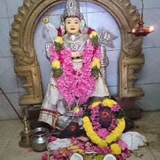
Sri Muthukumara Samy Temple, Vennandur
44.3 km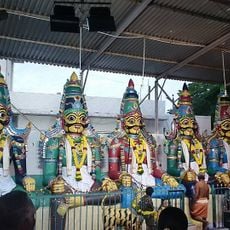
Sri Iynthu Muniyappan Temple
44.3 km
Ammapet Lake
44.4 km
Mettur Dam observation area
1 km
My Office
39.4 km
MM Hills Entrance Arch
39.8 km
Yercaud Rose Gardens
43.1 km
Silk World Yercaud
43.1 km
Kaasikaadu
17.9 km
சின்ன தும்கல் நீர் வீழ்ச்சி (thumkal water falls)
42.8 km
Male Mahadeswara Temple
34.5 km
MM Hills Entrance Arch
24.1 km
Thiruvalluvar Statue
41.7 km
Gokul Tiles Mart
33.1 km
Ambedkar Statue
41.4 km
Bull Statue
41 km
Statue, Work of art
317 m
Salem view
43.8 km
Karidayur view point
42 kmReviews
Visited this place? Tap the stars to rate it and share your experience / photos with the community! Try now! You can cancel it anytime.
Discover hidden gems everywhere you go!
From secret cafés to breathtaking viewpoints, skip the crowded tourist spots and find places that match your style. Our app makes it easy with voice search, smart filtering, route optimization, and insider tips from travelers worldwide. Download now for the complete mobile experience.

A unique approach to discovering new places❞
— Le Figaro
All the places worth exploring❞
— France Info
A tailor-made excursion in just a few clicks❞
— 20 Minutes