Sinclair Place
Location: Bowen
Location: Whitsunday Regional
GPS coordinates: -20.01673,148.24919
Latest update: November 2, 2025 03:33
Cape Upstart National Park
55.3 km
Gloucester Island National Park
22 km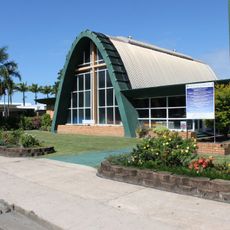
St Paul's Anglican Church, Proserpine
55.1 km
Mount Aberdeen National Park
39.7 km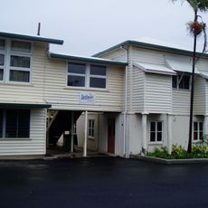
Bowen State School
974 m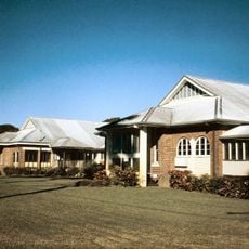
Proserpine Hospital
55.3 km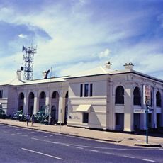
Bowen Courthouse
402 m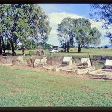
Flemington Road Cemetery
4 km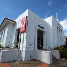
Bowen Post Office
564 m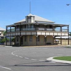
Bowen Harbour Board Building
192 m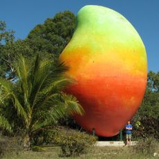
Big Mango
4.1 km
Flagstaff Hill, Bowen
1.8 km
Mount Nutt Lookout
4.3 km
O My God Hill
24 km
4WD beach access
24 km
Mother Beddock Lookout 500 accent
3.5 km
WW2 radar site
3.9 km
Cape Gloucester
21.8 km
Mother Beddock Lookout
3.5 km
Flagstaff Hill
1.8 km
The Big Mango
3.9 km
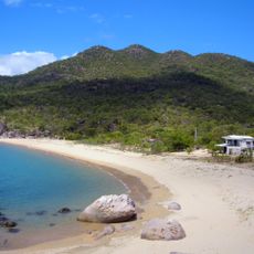
Horseshoe Bay Rotary Lookout
4.2 km
Scenic viewpoint
1.8 km
Scenic viewpoint
1.7 km
WW2 Radar Station Lookout
3.9 km
Grays Bay Lookout
4 km
Lighthouse
2.7 km
Proserpine War Memorial
55.1 kmReviews
Visited this place? Tap the stars to rate it and share your experience / photos with the community! Try now! You can cancel it anytime.
Discover hidden gems everywhere you go!
From secret cafés to breathtaking viewpoints, skip the crowded tourist spots and find places that match your style. Our app makes it easy with voice search, smart filtering, route optimization, and insider tips from travelers worldwide. Download now for the complete mobile experience.

A unique approach to discovering new places❞
— Le Figaro
All the places worth exploring❞
— France Info
A tailor-made excursion in just a few clicks❞
— 20 Minutes