Gloucester Island National Park, Nature reserve in Whitsunday Regional, Australia.
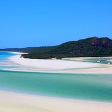
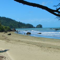
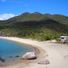
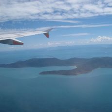
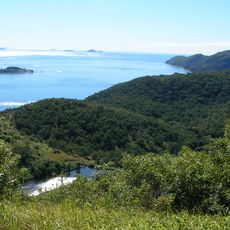
Gloucester Island National Park protects Gloucester Island and parts of neighbouring Armit and Saddleback Islands, 30 km east of Bowen and 950 km northwest of Brisbane. The main island rises from a continental shelf base to an average altitude of 34 m, with sandy bays, reefs and tropical rainforest. It forms part of the Great Barrier Reef World Heritage Area, near Molle Islands and Whitsunday Islands national parks and Dryander National Park on the mainland.
British explorer James Cook encountered this island during his 1770 voyage and recorded it as Cape Gloucester on his navigation charts. His mapping established the place in European records and shaped its geographical identity.
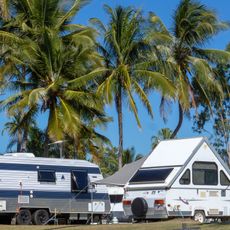
The name Gloucester comes from James Cook's 1770 error: he took the island for a mainland cape and called it Cape Gloucester. The Admiralty's hydrographer later moved the name to the cape south of the island, and the island kept Gloucester Island. Camping is allowed at Bona Bay and East Side Bay on the main island, and on Armit and Saddleback islands.
The islands are reached only by private or commercial boats, and camping is possible at Bona Bay and East Side Bay on the main island, as well as on Armit and Saddleback islands, where toilets, picnic tables and shelters are provided. The islands lie exposed in the open ocean, so check weather warnings before setting out.
From October through April, migratory wader birds pass through the area in significant numbers, offering visitors rare birdwatching opportunities. This seasonal arrival transforms the park into a vital stopover on their long migration routes.
The community of curious travelers
AroundUs brings together thousands of curated places, local tips, and hidden gems, enriched daily by 94,218 contributors worldwide.