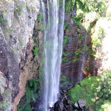
Rock Art
Location: Junction View
Location: Lockyer Valley Regional
GPS coordinates: -27.81786,152.15899
Latest update: November 21, 2025 23:25
Main Range National Park
15.9 km
Darling Downs Zoo
16 km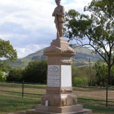
Ma Ma Creek War Memorial
21.2 km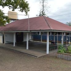
Blenheim State School
25.2 km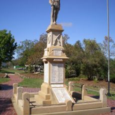
Greenmount War Memorial
25.2 km
Burnett Creek State Forest
25.5 km
Dwyers Scrub Conservation Park
14.9 km
Gambubal State Forest
25.5 km
Flagstone Creek Conservation Park
23.1 km
Gilbert State Forest
25.4 km
Teviot State Forest
25.4 km
Mount Mistake National Park
18.3 km
Emu Vale State Forest
25.5 km
Janowen Hills 4WD Park
21.9 km
Commander Lookout
22.9 km
Nobby Railway Station
25.4 km
Dilly Bag Gunyah
25.4 km
Headington Hill Lutheran Church Site (Historic)
17.9 km
The Pepperina Gallery
25.5 km
Poplar Flat camping area Main Range NP
25.4 km
Darling Downs Zoo
15.5 km
Scenic viewpoint
24.1 km
Schultz Lookout
25.1 km
Scenic viewpoint
12.1 km
Scenic viewpoint
16.1 km
Traditional Australian Slab Cabin
15.7 km
Ma Ma Creek War Memorial
21.2 km
Thiess Brothers Memorial monument
10.2 kmReviews
Visited this place? Tap the stars to rate it and share your experience / photos with the community! Try now! You can cancel it anytime.
Discover hidden gems everywhere you go!
From secret cafés to breathtaking viewpoints, skip the crowded tourist spots and find places that match your style. Our app makes it easy with voice search, smart filtering, route optimization, and insider tips from travelers worldwide. Download now for the complete mobile experience.

A unique approach to discovering new places❞
— Le Figaro
All the places worth exploring❞
— France Info
A tailor-made excursion in just a few clicks❞
— 20 Minutes