Main Range National Park, Nature reserve in Queensland, Australia
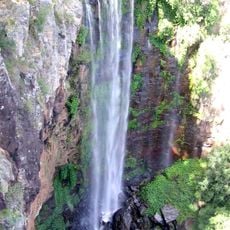
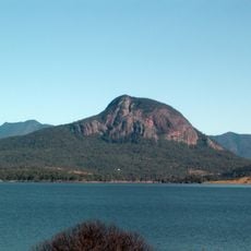
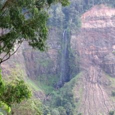
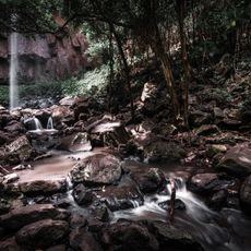
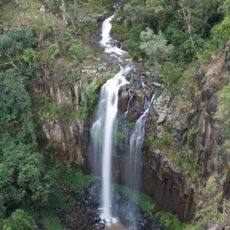
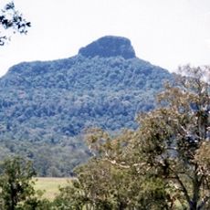
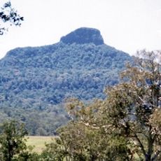
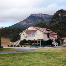
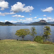
Main Range National Park runs from Kangaroo Mountain to Wilsons Peak on the New South Wales border and holds more than 40 peaks above 1,000 m, including Mount Superbus at 1,375 m. Its western Scenic Rim slopes carry the largest rainforest area in South East Queensland, with subtropical rainforest and dry sclerophyll forest.
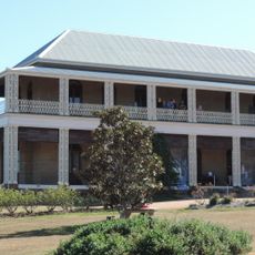
Spicers Gap is believed to be a traditional pathway for Indigenous Australians travelling between the inland and the coast. In 1828 Allan Cunningham found the route now called Cunninghams Gap, and stockman Henry Alphen discovered Spicers Gap in 1847. The Spicers Gap Road, built to carry supplies to and from the Darling Downs, is the best remaining example of sophisticated 19th-century engineering in Queensland. In 1909 the area around Cunninghams Gap was declared a national park.
Spicers Gap is believed to be a traditional pathway used by Indigenous Australians travelling between the inland and the coast. The Spicers Gap Road, built to carry supplies to and from the Darling Downs, is the best remaining example of sophisticated 19th-century engineering in Queensland.
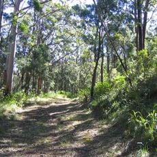
The park offers several designated camping spots with basic facilities like picnic tables and toilets scattered throughout the rainforest. Well-marked trails connect different areas, allowing visitors to explore the terrain and enjoy views from higher elevations.
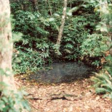
The park's western section preserves the largest area of rainforest in South East Queensland, and its steeper slopes were never cleared, so they shelter species such as the eastern bristlebird, Coxen's fig parrot and the spotted-tailed quoll. BirdLife International lists the Scenic Rim as an Important Bird Area for these threatened birds.
The community of curious travelers
AroundUs brings together thousands of curated places, local tips, and hidden gems, enriched daily by 94,259 contributors worldwide.