Wilsons Peak, Mountain summit in Scenic Rim Region, Australia.
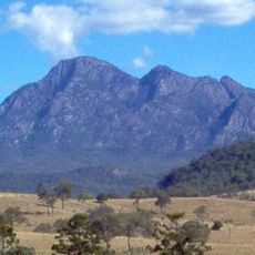
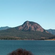
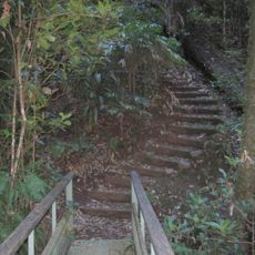
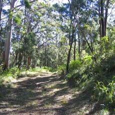
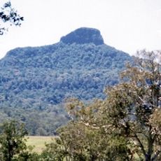
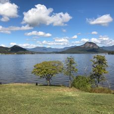
Wilsons Peak is a mountain summit in the Scenic Rim Region reaching 1,230 meters above sea level in Queensland, located where the Great Dividing Range meets the McPherson Range. Two main routes lead to the top: the eastern and western paths both follow the state border marked by the Darling Downs-Moreton Rabbit Board fence.
The mountain was named by Patrick Logan, commander of the Moreton Bay penal settlement, who chose to honor a colleague through this naming. This occurred during the early European exploration and settlement period of the region in the 1800s.
The local Aboriginal people called the mountain Jirramen, Uragapul for 'knee', because its summit resembles a human knee. They used the peak to send smoke signals along the Main Range, in a chain that also included Mount Roberts, Doubletop and Mount Mitchell.
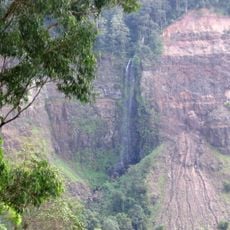
Both approaches follow the Darling Downs-Moreton Rabbit Board fence that straddles the state border, so the route itself marks the boundary between Queensland and New South Wales. The Queensland side lies in Main Range National Park and the New South Wales side in Koorelah National Park. The mountain rises 455 metres above the surrounding terrain, and Mount Superbus, at 1,375 metres, stands 4.6 kilometres to the north.
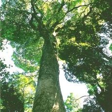
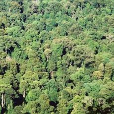
The summit block is volcanic igneous rock, and its lithophyte communities of orchids and mosses grow directly on it; the summit area itself is covered mainly in Melaleuca shrubs. The mountain lies entirely within national parks: Main Range National Park on the Queensland side and Koorelah National Park in New South Wales.
The community of curious travelers
AroundUs brings together thousands of curated places, local tips, and hidden gems, enriched daily by 93,894 contributors worldwide.