Richmond Range National Park, National park in the Richmond Range, northeastern New South Wales, Australia
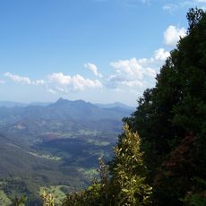
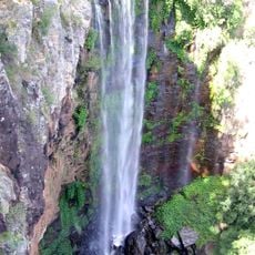
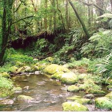
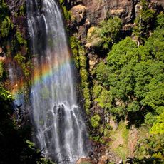
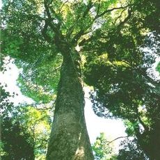
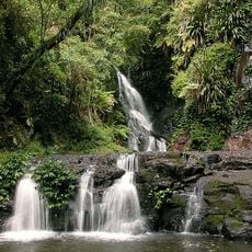
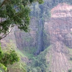
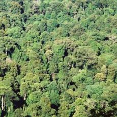
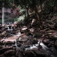
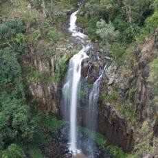
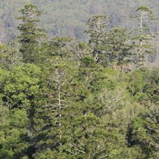
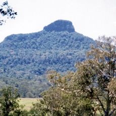
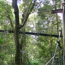
Richmond Range National Park is a protected area in northeastern New South Wales featuring subtropical rainforest with multiple walking trails and designated viewing points. The landscape includes steep slopes covered in dense vegetation and waterfalls, with panoramic vistas opening onto the valley below.
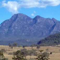
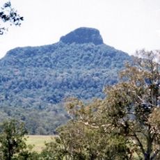
The park lies on the southern Richmond Range, part of the Great Dividing Range, north of the Bruxner Highway. The Githabul People, who have inhabited the region for thousands of years, agreed to a use agreement with the New South Wales government that allows them to take part in managing the park. The park protects eucalyptus and Gondwana rainforest, including the Cambridge Plateau and Bungdoozle areas.
The park is co-managed with the Githabul People, who lived in the region for thousands of years before a use agreement allowed the national park to be created. Their involvement in running the park continues today, and the arrangement is written into how the reserve is administered.
The park lies about 60 km west of Lismore, with the Bruxner Highway forming its southern boundary; the Toonumbar National Park adjoins it to the north. Average temperatures are around 15 °C in winter and 25 °C in summer. Access roads are unsealed, so check conditions before setting out.
The park protects rainforest listed within the Gondwana Rainforests World Heritage Area, including the Cambridge Plateau and Bungdoozle stands. Its eucalypt forests shelter the spotted gum and rare animals such as the golden-tipped bat, the long-nosed potoroo and the Parma wallaby. The Githabul People co-manage the park under an agreement with the New South Wales government.
The community of curious travelers
AroundUs brings together thousands of curated places, local tips, and hidden gems, enriched daily by 94,214 contributors worldwide.