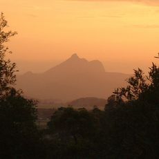
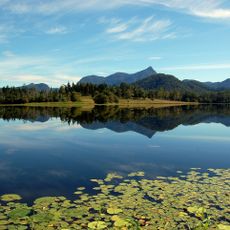
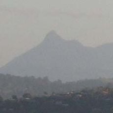
Mount Warning, Shield volcano in New South Wales, Australia.
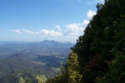
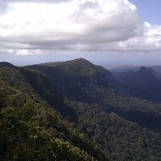
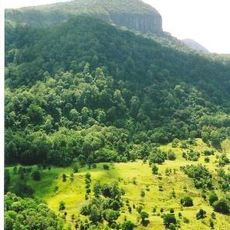
Mount Warning rises 1156 meters above sea level, forming the central peak of an eroded caldera within the Tweed Range of northeastern New South Wales. The mountain displays the characteristic structure of a collapsed volcanic formation with steep slopes and surrounding forested terrain.
Lieutenant James Cook mapped this mountain in 1770 and marked it as the first visible landmark for ships approaching the coastline. It became a key reference point for early European navigation along the Australian east coast.
The Bundjalung people call this mountain Wollumbin and maintain traditional protocols that restrict summit access for ceremonial purposes. These practices remain central to how the community relates to the place today.
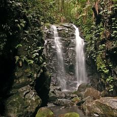
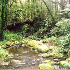
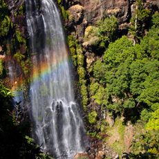
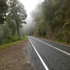
The return hiking trail extends around 9 kilometers through dense forest with steep climbing sections that demand solid footwear and adequate water supplies. Visitors should be prepared for demanding terrain and bring appropriate gear for the ascent.
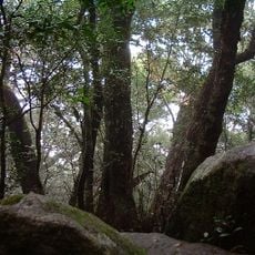
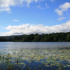
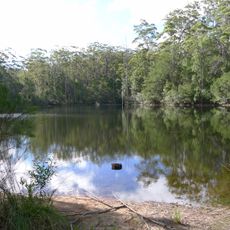
This mountain is the central plug of an ancient volcano that erupted 23 million years ago, forming the largest erosion caldera in the Southern Hemisphere. Its true geological scale becomes apparent only when walking through the surrounding landscape rather than viewing from the peak alone.
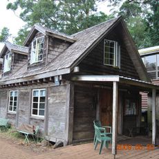
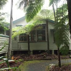
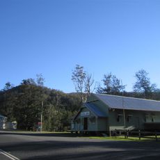
The community of curious travelers
AroundUs brings together thousands of curated places, local tips, and hidden gems, enriched daily by 60,000 contributors worldwide.