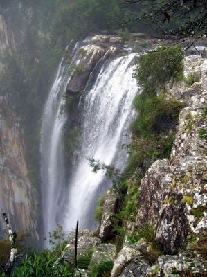
Minyon Falls, Rainforest waterfall in Northern Rivers, Australia
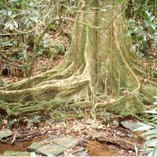
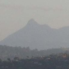
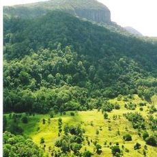
Minyon Falls is a waterfall in Nightcap National Park where water drops about 100 meters over rhyolite cliffs, creating a vertical cascade surrounded by subtropical forest. The location features an accessible lookout area at the top and a trail system that allows visitors to experience the falls from different vantage points.
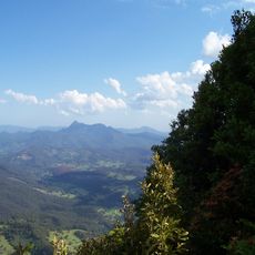
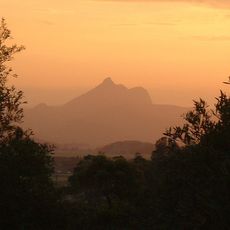
The waterfall owes its formation to the ancient Tweed Volcano, which shaped the Northern New South Wales landscape millions of years ago. This geological foundation continues to define the character and structure of the place today.
The waterfall sits within lands of deep significance to the Bundjalung people, whose presence in this region shaped how the landscape is understood and valued. Visitors walking here can sense the long history of human connection to this place and the forest around it.
The location is best visited as a half-day trip, with the accessible boardwalk at the top offering easy views for most visitors. Those who wish to hike down to the waterfall base should prepare for a longer walk through forested terrain.
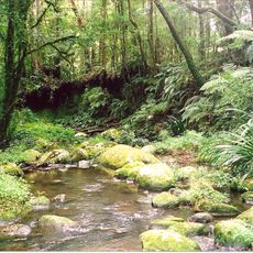
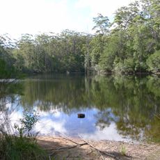
The water level in the pool below shifts with seasons, and during wetter periods the falling water creates a natural shower effect at the base. This seasonal change means each visit offers a slightly different experience.
The community of curious travelers
AroundUs brings together thousands of curated places, local tips, and hidden gems, enriched daily by 60,000 contributors worldwide.