Clarrie Hall Dam, Water reservoir and embankment dam in Northern Rivers region, Australia
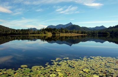
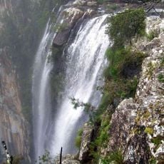
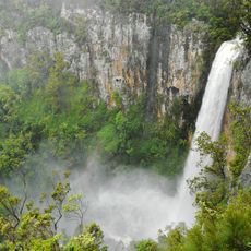
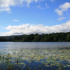
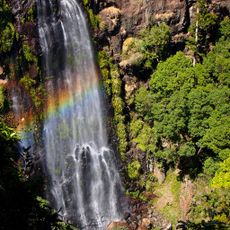
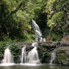
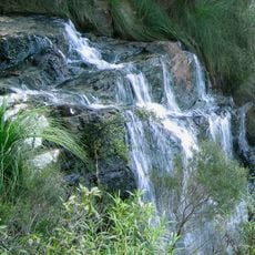
Clarrie Hall Dam is a concrete-faced rockfill embankment dam stretching 175 meters across Doon Doon Creek. The reservoir holds water through an uncontrolled concrete-lined spillway system and supplies drinking water while regulating flow in the Tweed River.
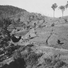
Construction began in 1979 and was completed in 1983, with the reservoir filling before the official opening ceremony took place. This early filling marked a significant milestone in water management for the region.
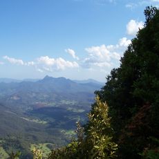
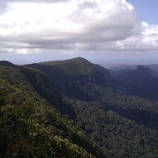
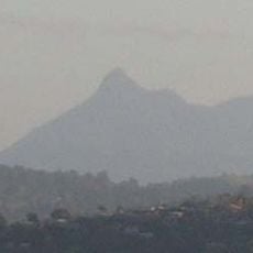
The Ngandowal and Minyungbal peoples of Bundjalung Country consider this area important, as shown by Aboriginal artifacts found in the region. The landscape carries traces of this cultural connection today.
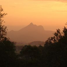
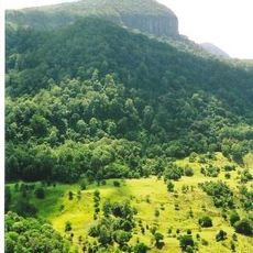
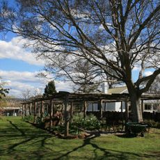
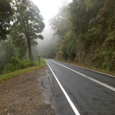
Visiting during the dry season offers the best access to pathways around the site and clearer views of the structure. The location is accessible by vehicle from nearby towns, making it possible to explore the dam and surrounding landscape at your own pace.
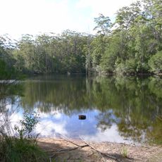
More than 300,000 Australian Bass fish have been stocked in the reservoir since 1991, transforming it into a popular fishing destination. This fishery management has made the place notable for anglers visiting from across the region.
The community of curious travelers
AroundUs brings together thousands of curated places, local tips, and hidden gems, enriched daily by 60,000 contributors worldwide.