Nightcap National Park, Nature reserve in Northern Rivers, Australia.
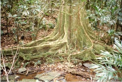
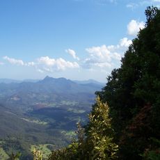
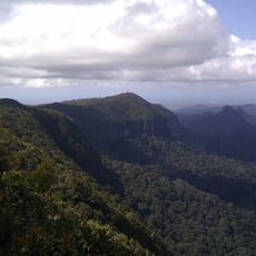
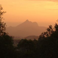
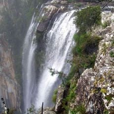
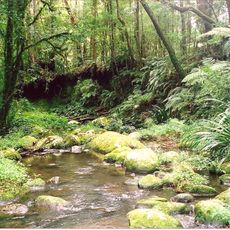
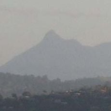
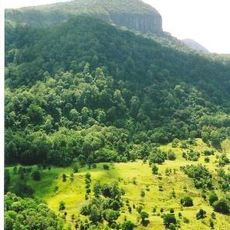
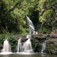
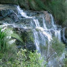
Nightcap National Park is a protected forest reserve in Northern Rivers that covers steep mountain terrain with dense rainforest, cascading waterfalls, and narrow gorges. The land rises to mountain peaks around 930 meters and stays wet and misty most of the year due to heavy rainfall.
The reserve became a protected national park in 1983 after environmental campaigns stopped logging that had threatened the ancient forests in the early 1980s. Local activists fought to preserve the rainforests from being cleared for timber over several years.
Aboriginal communities including the Nganduwal, Galibal, Githabul, and Widjabal peoples have long inhabited these lands and continue to maintain their presence here. Visitors walking through the ancient forests can sense the deep roots these groups hold in the landscape.
The park is reached by four unsealed roads that can become slippery after rain, so check conditions before driving in. Picnic areas sit at Minyon Falls lookout, Minyon Grass, and Terania Creek, and many places require walking on hiking trails to reach them.
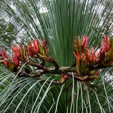
This place receives more rainfall than nearly anywhere else in New South Wales, which allows rare plants like the Nightcap oak to grow here. The constant moisture creates a place where ferns and mosses cover the ground and drape from tree branches.
The community of curious travelers
AroundUs brings together thousands of curated places, local tips, and hidden gems, enriched daily by 60,000 contributors worldwide.