Scenic Rim Regional, Administrative division in Queensland, Australia.
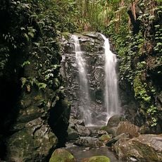
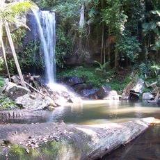
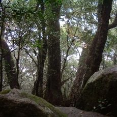
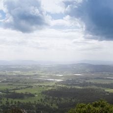
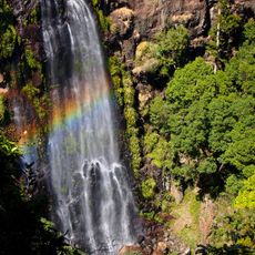
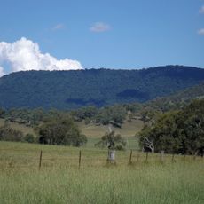
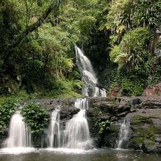
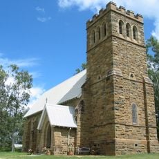
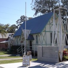
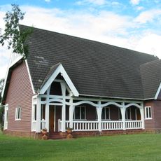
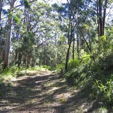
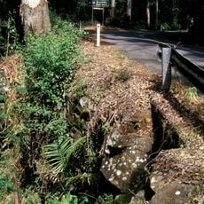
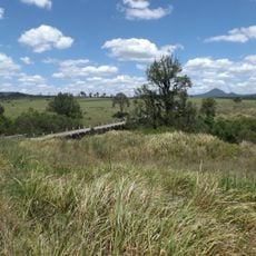
Scenic Rim Regional is an administrative area in Queensland combining mountains, forests, and valleys south of Brisbane, encompassing communities like Beaudesert, Boonah, and Tamborine Mountain. The region includes valleys where orchards flourish and steep ridges that rise above the landscape.
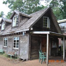
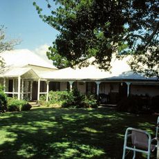
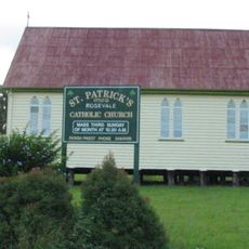
The region was created in 2008 when separate shires and districts merged to form a unified local government area. This combination brought together four communities with different histories and local traditions.
The Mununjali, Wangerriburra, Ugurapul, and Migunberri peoples have lived on these lands for thousands of years and their connection to the region remains visible in its landscape and place names.
The area is divided into six electoral wards, each with representation on the local council, and several towns serve as centers for services and supplies. Public libraries operate in the main towns where visitors can find local information and gather maps.
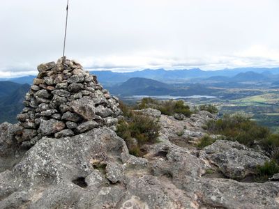
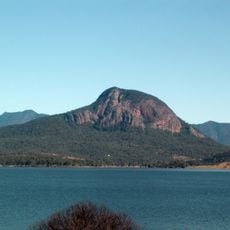
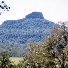
Mount Barney rises to about 1,356 meters and is the highest peak in South East Queensland, dominating the region's landscape and drawing hikers seeking alpine terrain. The mountain's prominence makes it a natural landmark visible from many parts of the region.
The community of curious travelers
AroundUs brings together thousands of curated places, local tips, and hidden gems, enriched daily by 60,000 contributors worldwide.