Sarabah National Park, National park in southeast Queensland, Australia
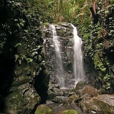
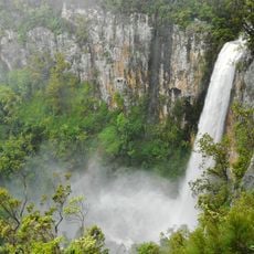
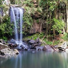
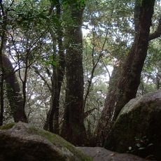
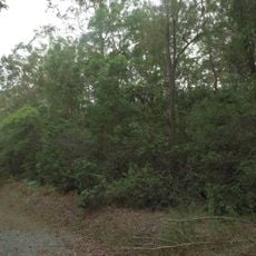
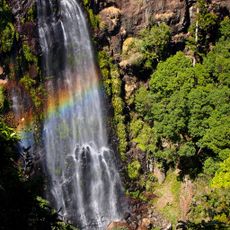
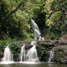
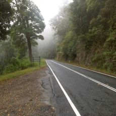
Sarabah National Park is a protected area in southeast Queensland featuring subtropical rainforest and open forest alongside a creek. The landscape consists of dense vegetation and natural waterways that flow through the terrain.
Sarabah was declared a national park in 1973. The sources record no later boundary expansion, and the park remains 1.416 ha in size, making it Queensland's smallest national park. It lies in the catchment of the Albert River, 65 km south of Brisbane and about 15 km southeast of Beaudesert.
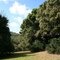
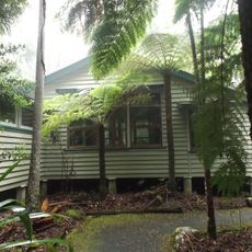
The park protects a patch of primary subtropical rainforest on the bank of Canungra Creek, a tributary of the Albert River. Among the plants growing here are ferns, spurges such as the Green Karmala (Mallotus claoxyloides) and Red Karmala (Mallotus philippensis), mulberry family trees like the Sandpaper Fig (Ficus coronata), and ten species of soapberry family plants, including Guioa (Guioa semiglauca).
From Canungra, take Lamington National Park Road south; the park is reached after about 5 km. There are no visitor facilities on site, so bring your own food and water and carry out all waste. The park lies about 65 km south of Brisbane and 15 km southeast of Beaudesert.
At 1.416 hectares it is Queensland's smallest national park, declared in 1973. The German source gives the size as 1.42 hectares. It protects a patch of primary subtropical rainforest on the bank of Canungra Creek, a tributary of the Albert River.
The community of curious travelers
AroundUs brings together thousands of curated places, local tips, and hidden gems, enriched daily by 94,237 contributors worldwide.