Urban Forest
Location: Wellington City
Creator: Leon van den Eijkel in collaboration with Allan Brown
Creator: Leon van den Eijkel in collaboration with Allan Brown
GPS coordinates: -41.31364,174.79873
Latest update: November 22, 2025 08:53
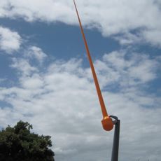
Zephyrometer
267 m
Ruth Gotlieb Library
454 m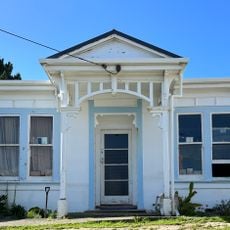
House
999 m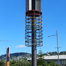
Tower of Light
581 m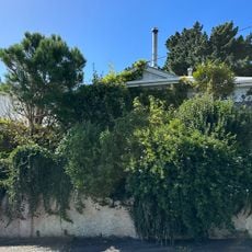
House
1 km
House
1.1 km
House (10 Balmoral Terrace)
1.1 km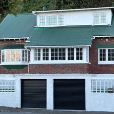
House
339 m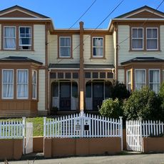
House
1 km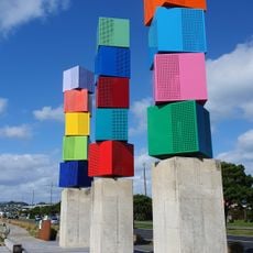
Urban Forest
16 m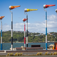
Akau Tangi
222 m
Ākau Tangi
223 m
Ākau Tangi
232 m
Ākau Tangi
215 m
Tower of Light
589 m
Ākau Tangi
227 m
Ākau Tangi
227 m
Ākau Tangi
222 m
Ākau Tangi
219 m
Ākau Tangi
226 m
Urban Forest
10 m
Ākau Tangi
246 m
Ākau Tangi
250 m
Ākau Tangi
270 m
Pacific Grass
947 m
Scenic viewpoint
809 m
19th NZ Infantry Battalion and 19th NZ Armoured Regiment
810 m
Kilbirnie School War Memorial
781 mReviews
Visited this place? Tap the stars to rate it and share your experience / photos with the community! Try now! You can cancel it anytime.
Discover hidden gems everywhere you go!
From secret cafés to breathtaking viewpoints, skip the crowded tourist spots and find places that match your style. Our app makes it easy with voice search, smart filtering, route optimization, and insider tips from travelers worldwide. Download now for the complete mobile experience.

A unique approach to discovering new places❞
— Le Figaro
All the places worth exploring❞
— France Info
A tailor-made excursion in just a few clicks❞
— 20 Minutes