TRAHIART
Location: Amougies
Location: Mont-de-l'Enclus
GPS coordinates: 50.74379,3.50487
Latest update: November 11, 2025 06:58
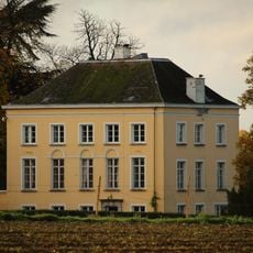
Kasteel Calmont
2.9 km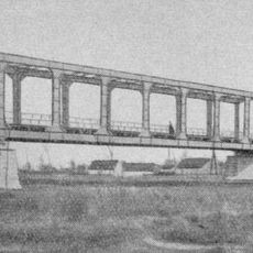
Pont du Waterhoek
4.1 km
Kluisbos
2.2 km
Château du Saulchoir
3.7 km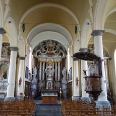
Sint-Amanduskerk
3.9 km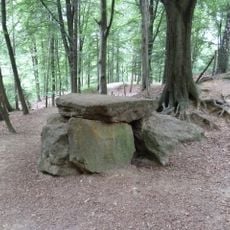
Peetje en Meetje
2 km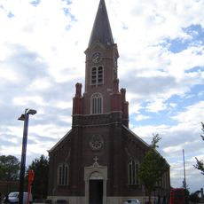
Sint-Corneliuskerk
3.5 km
Klooster Sint-Franciscus
3.8 km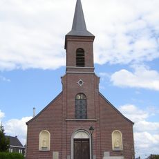
Église Saint-Brice
1.7 km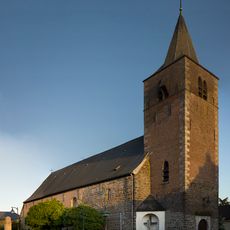
Église Saint-Bavon
95 m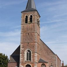
Église Saint-Amand de Russeignies
1.9 km
Scenic viewpoint
2.6 km
Scenic viewpoint
3.1 km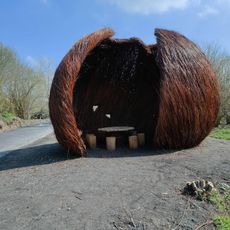
Le Coquillage - De Schelp
3.9 km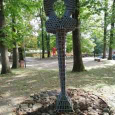
Entre le pilori et le graal
2.2 km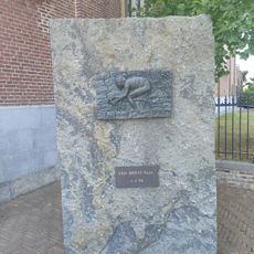
Eddy Merckx route
3.5 km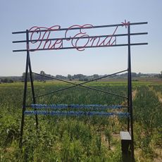
The End
2.9 km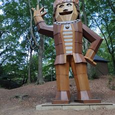
Le prince Salvaert de Dijon
1.8 km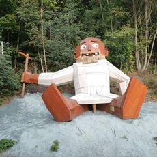
L' Eemite
1.8 km
La Basket
2.3 km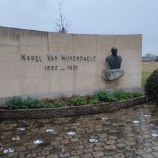
Monument Karel van Wijnendaele
3.1 km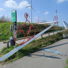
Work of art, sculpture
3.9 km
Work of art, sculpture
3.3 km
Catholic church building, wayside shrine, Christianity
3.2 km
Wayside shrine
1.9 km
Obelisk, memorial
103 m
Memorial
1.8 km
Wayside cross
3.7 kmReviews
Visited this place? Tap the stars to rate it and share your experience / photos with the community! Try now! You can cancel it anytime.
Discover hidden gems everywhere you go!
From secret cafés to breathtaking viewpoints, skip the crowded tourist spots and find places that match your style. Our app makes it easy with voice search, smart filtering, route optimization, and insider tips from travelers worldwide. Download now for the complete mobile experience.

A unique approach to discovering new places❞
— Le Figaro
All the places worth exploring❞
— France Info
A tailor-made excursion in just a few clicks❞
— 20 Minutes