
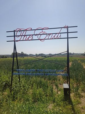
The End
Location: Ronse
Creator: Shcscht
Creator: Shcscht
GPS coordinates: 50.74150,3.54598
Latest update: November 11, 2025 16:02
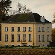
Kasteel Calmont
3.2 km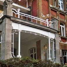
Villa Carpentier
1.7 km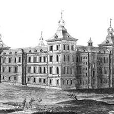
Castle of Ronse
3.4 km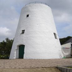
Hotondmolen, Zulzeke
2.7 km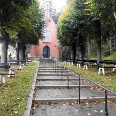
Kapel van Onze-Lieve-Vrouw van Wittentak
2.7 km
Kasteel De Malander
3.6 km
Stedelijk Folkloremuseum
3.7 km
Malanderpark
3.5 km
Onze-Lieve-Vrouw van Altijddurende Bijstandkerk
1.6 km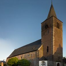
Église Saint-Bavon
2.8 km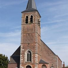
Église Saint-Amand de Russeignies
1.1 km
Scenic viewpoint
2.8 km
Scenic viewpoint
3.3 km
TRAHIART
2.9 km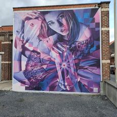
Graffiti, Work of art
3.3 km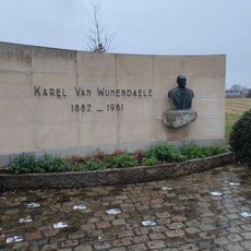
Monument Karel van Wijnendaele
2.9 km
B-24H 'Pale Ale'
2.3 km
Dansende stenen
3.8 km
Work of art, mural
3.8 km
Graffiti, Work of art
3.3 km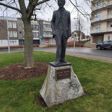
Ovide Decroly
3.4 km
Work of art, sculpture
3.2 km
Turret clock, clock, sundial, clock tower
3.5 km
Catholic church building, wayside shrine, Christianity
3.3 km
Wayside shrine
975 m
Obelisk, memorial
2.8 km
Memorial
1.1 km
Wayside cross
1.7 kmReviews
Visited this place? Tap the stars to rate it and share your experience / photos with the community! Try now! You can cancel it anytime.
Discover hidden gems everywhere you go!
From secret cafés to breathtaking viewpoints, skip the crowded tourist spots and find places that match your style. Our app makes it easy with voice search, smart filtering, route optimization, and insider tips from travelers worldwide. Download now for the complete mobile experience.

A unique approach to discovering new places❞
— Le Figaro
All the places worth exploring❞
— France Info
A tailor-made excursion in just a few clicks❞
— 20 Minutes