Sv. Jana Nepomuckého
Location: Slavkov
Inception: January 1, 1722
Made from material: stone
GPS coordinates: 49.92170,17.83541
Latest update: November 15, 2025 10:10
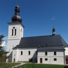
Church of the Nativity of the Virgin Mary
2.5 km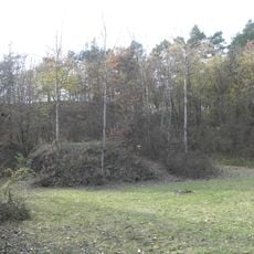
Otická sopka
1.9 km
Hvozdnice
1.8 km
Socha svatého Floriána v Zlatníkách u Opavy
2.3 km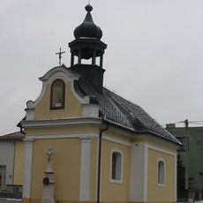
Chapel of the Annunciation
2.5 km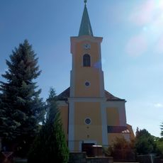
Church of Saint Anne
28 m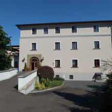
Slavkov Castle
191 m
Slovanský mohylník
2.3 km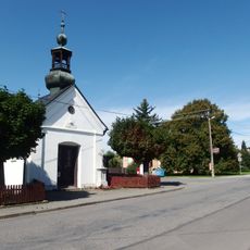
Chapel of the Saint John the Baptist (Zlatníky)
2.3 km
Kaple
267 m
Kamenná hora
1.9 km
III/316/A-120
2.4 km
Wayside cross
43 m
III/312/A-140
2.4 km
Wayside cross
2.5 km
III/321/A-120
2.5 km
Wayside cross
450 m
Bludný kamen 750
244 m
Pomník padlym
265 m
Wayside cross
36 m
III/308/B1-80
2.3 km
Wayside cross
516 m
Wayside shrine
798 m
Wayside cross
1.3 km
Wayside shrine
558 m
Wayside cross
664 m
Wayside cross
742 m
Válečný památník
2.4 kmReviews
Visited this place? Tap the stars to rate it and share your experience / photos with the community! Try now! You can cancel it anytime.
Discover hidden gems everywhere you go!
From secret cafés to breathtaking viewpoints, skip the crowded tourist spots and find places that match your style. Our app makes it easy with voice search, smart filtering, route optimization, and insider tips from travelers worldwide. Download now for the complete mobile experience.

A unique approach to discovering new places❞
— Le Figaro
All the places worth exploring❞
— France Info
A tailor-made excursion in just a few clicks❞
— 20 Minutes