
Slavkov, village in Opava District of Moravian Silesian region
Location: Opava District
Location: Upravni občinski okoliš z razširjenimi pristojnostmi Opava
Elevation above the sea: 299 m
Shares border with: Opava, Otice, Stěbořice, Štáblovice, Uhlířov, Dolní Životice
Email: slavkov@iol.cz
Website: http://slavkov-u-opavy.cz
GPS coordinates: 49.92180,17.83647
Latest update: April 21, 2025 12:41
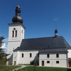
Church of the Nativity of the Virgin Mary
2.5 km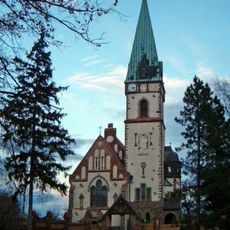
Salvator Church
4.8 km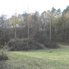
Otická sopka
1.8 km
Chapel of Saint Jude Thaddeus (Otice)
3 km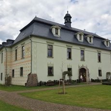
Zámek Štáblovice
4.9 km
Zámek Jezdkovice
4.4 km
Hvozdnice
1.8 km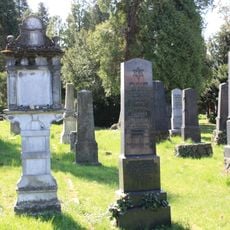
Jewish cemetery in Opava
3.8 km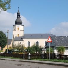
Church of Saint Lawrence (Štáblovice)
4.8 km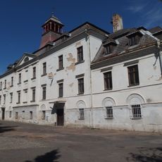
Zámek Stěbořice
2.6 km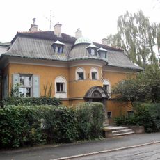
Kalittova vila
4 km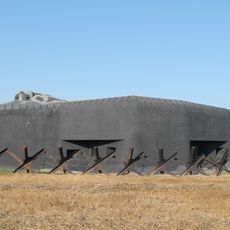
Museum of the fortifications Opava-Milostovice
3.3 km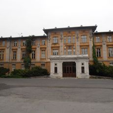
Slezská nemocnice
3.4 km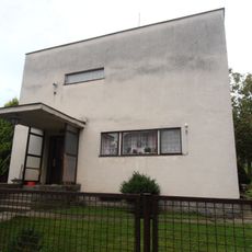
Vila dr. Radima Hesse
4 km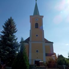
Church of Saint Anne
104 m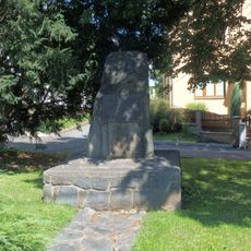
Památník osvobození ve Stěbořicích
2.9 km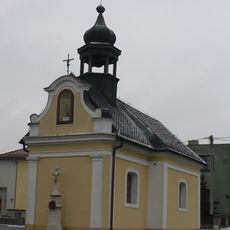
Chapel of the Annunciation
2.4 km
Kolumbarium
3.7 km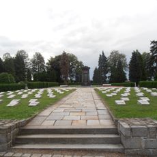
Monument to Red Army at Opava cemetery
3.6 km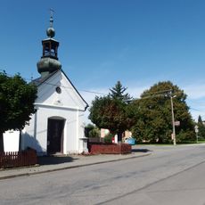
Chapel of the Saint John the Baptist (Zlatníky)
2.3 km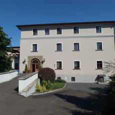
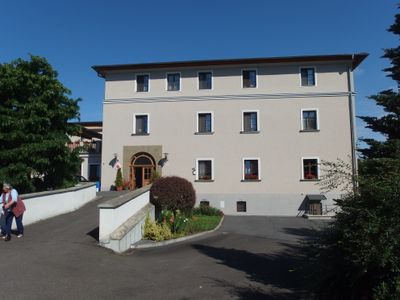
Slavkov Castle
263 m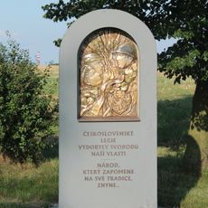
Památník legií východní okraj Milostovic
3.2 km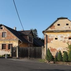
Odbojářů 27
3.2 km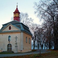
Chapel of Salvator
4.6 km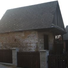
Špýchar usedlosti čp. 25
2.6 km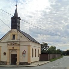
Chapel of the Most Holy Redemeer
3.2 km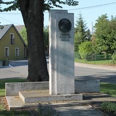
Památník Vincence Praska v Milostovicích
3.4 km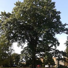
Dub červený
3.3 kmReviews
Visited this place? Tap the stars to rate it and share your experience / photos with the community! Try now! You can cancel it anytime.
Discover hidden gems everywhere you go!
From secret cafés to breathtaking viewpoints, skip the crowded tourist spots and find places that match your style. Our app makes it easy with voice search, smart filtering, route optimization, and insider tips from travelers worldwide. Download now for the complete mobile experience.

A unique approach to discovering new places❞
— Le Figaro
All the places worth exploring❞
— France Info
A tailor-made excursion in just a few clicks❞
— 20 Minutes