Tuhon omat
Location: Huittinen
Inception: January 1, 2001
Creator: Inga Sipiläinen
Creator: Inga Sipiläinen
GPS coordinates: 61.18242,22.69922
Latest update: October 25, 2025 06:36

Keikyän riippusilta
10.7 km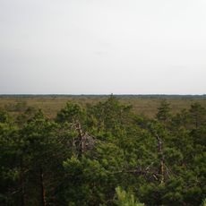
Puurijärvi-Isosuo National Park
10.3 km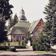
Huittinen Church
396 m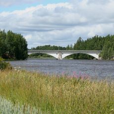
Pahakosken rautatiesilta
17 km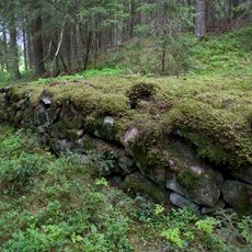
Lammelan muinaislinna
11.4 km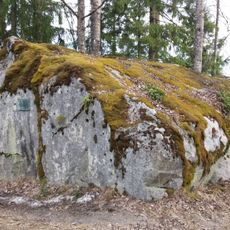
Halkivahankivi
11.8 km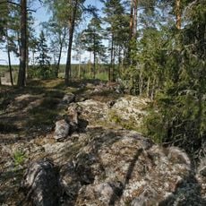
Räätikäsvuori Hill fort
4.6 km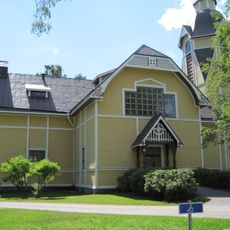
Keikyä Church
9.9 km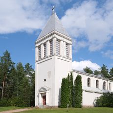
Église d'Huhtamo
671 m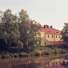
Huittinen Dairy
88 m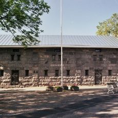
Huittinen Museum
415 m
Sarkia-museo
16.7 km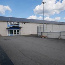
Kulta-Arena
383 m
Rutunan kirkko
17 km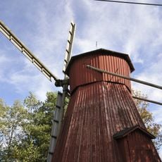
Vampulan kotiseutumuseo
17.5 km
Koskenhaka
16.8 km
Riihimäki
15.7 km
Noste
1.2 km
Matkalla
711 m
Esteitä
751 m
Ympyrähullut
710 m
Leijona patsas
754 m
Toinen hirvi
221 m
Huittisten majakka
442 m
Kärjenkallion lintutorni
12.9 km
Tarkkailulava
13.1 km
Scenic viewpoint
1 km
Scenic viewpoint
992 mReviews
Visited this place? Tap the stars to rate it and share your experience / photos with the community! Try now! You can cancel it anytime.
Discover hidden gems everywhere you go!
From secret cafés to breathtaking viewpoints, skip the crowded tourist spots and find places that match your style. Our app makes it easy with voice search, smart filtering, route optimization, and insider tips from travelers worldwide. Download now for the complete mobile experience.

A unique approach to discovering new places❞
— Le Figaro
All the places worth exploring❞
— France Info
A tailor-made excursion in just a few clicks❞
— 20 Minutes