Huittinen, town in the region of Satakunta in Finland
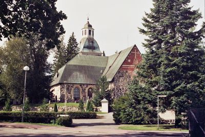
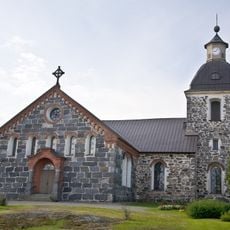
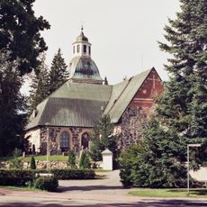
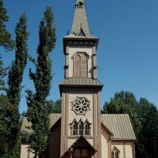
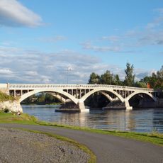
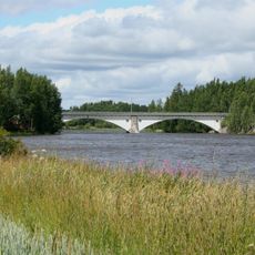
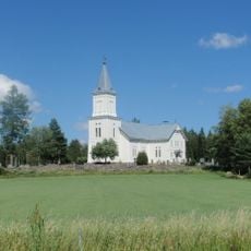
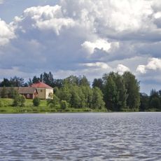
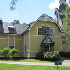
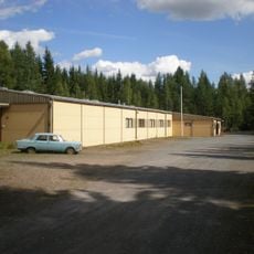
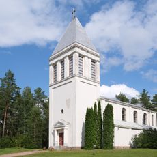
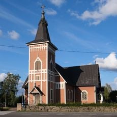
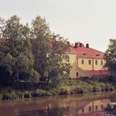
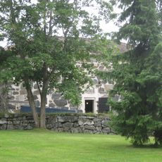
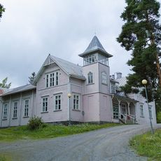
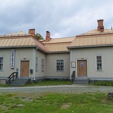
Huittinen is a small town in the Satakunta region of Finland, surrounded by rolling hills, forests, and the Loimijoki River. The streetscape features a mix of old stone buildings, including a centuries-old church, alongside modern shops and homes, all set along quiet, walkable streets.
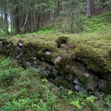
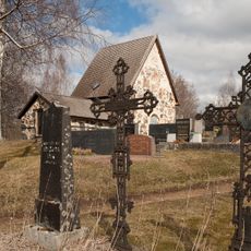
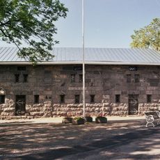
Huittinen has roots reaching back to the Iron Age, with the town formally established during the Middle Ages. The old stone church, built centuries ago, marks the town's growth from an agricultural settlement centered on farming and trade into the steady community it is today.
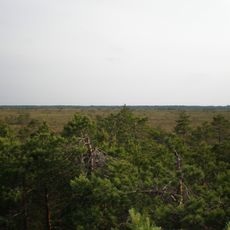
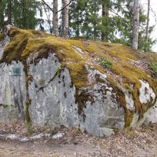
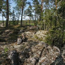
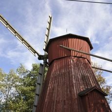
The name Huittinen reflects the local geography and connection to water and forests that define the region. Today, the town remains centered on shared traditions like sauna culture, handmade crafts, and seasonal festivals that bring the community together and shape how residents experience their daily lives.
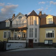
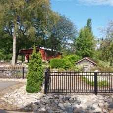
The town is easy to explore on foot or by bicycle, with well-maintained streets and a reliable bus system connecting different areas. Visitors can find small hotels, hostels, and cabin accommodations that offer comfortable, affordable places to stay within walking distance of main attractions.
Traditional Finnish sauna culture runs deep here and forms a core part of daily life, serving not just as relaxation but as a social gathering place for the community. Visitors can immerse themselves in this authentic Finnish experience by visiting local saunas and understanding why they hold such importance in local routines.
The community of curious travelers
AroundUs brings together thousands of curated places, local tips, and hidden gems, enriched daily by 60,000 contributors worldwide.