Luzaideko bolantak
Location: Luzaide/Valcarlos
GPS coordinates: 43.09272,-1.30215
Latest update: October 25, 2025 07:11
Torre de Urkulu
7.2 km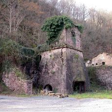
Mines de cuivre de Banca
7 km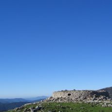
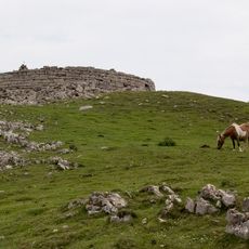
Urkulu
7.2 km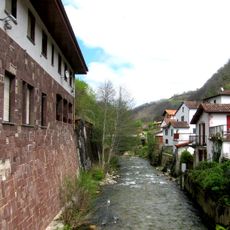
Casa del Puente Internacional de Arnéguy
2.4 km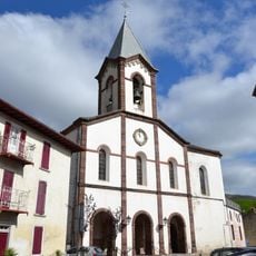
Iglesia Parroquial de Santiago
60 m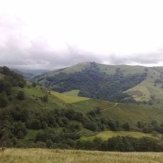
Errola
7.2 km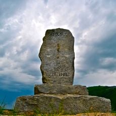
Orreagako oroitarria
8.2 km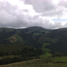
Otsamunho
7.6 km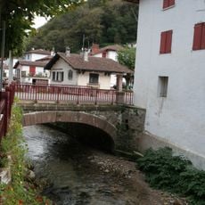
Puente Internacional de Arnegui
2.4 km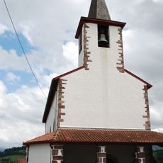
Église Saint-Martin de Lasse
7.9 km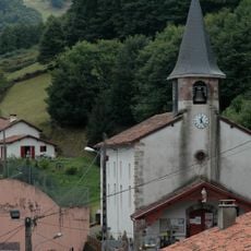
Église Saint-Pierre de Banca
7.1 km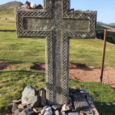
Croix Thibault
4.8 km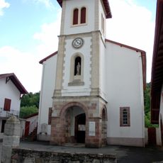
Église Saint-Vincent-de-Dax de Saint-Michel
8.2 km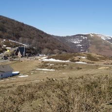
Sector comprendido entre Roncesvalles y Valcarlos
7.6 km
Église de l'Assomption d'Arnéguy
2.4 km
Soroluxe
8.1 km
Ortzanzurieta
8.2 km
Scenic viewpoint
5.9 km
Scenic viewpoint
6.1 km
Scenic viewpoint
119 m
Scenic viewpoint
4.9 km
Table d'Orientation
7.2 km
Scenic viewpoint
7.6 km
Scenic viewpoint
4.5 km
Scenic viewpoint
4.3 km
The Virgin of Orisson
4.3 km
Scenic viewpoint
7.4 km
Scenic viewpoint
6.5 kmReviews
Visited this place? Tap the stars to rate it and share your experience / photos with the community! Try now! You can cancel it anytime.
Discover hidden gems everywhere you go!
From secret cafés to breathtaking viewpoints, skip the crowded tourist spots and find places that match your style. Our app makes it easy with voice search, smart filtering, route optimization, and insider tips from travelers worldwide. Download now for the complete mobile experience.

A unique approach to discovering new places❞
— Le Figaro
All the places worth exploring❞
— France Info
A tailor-made excursion in just a few clicks❞
— 20 Minutes