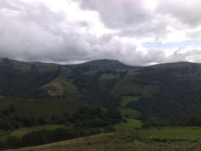
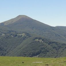
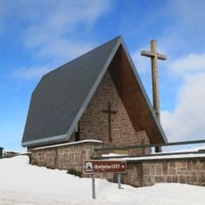
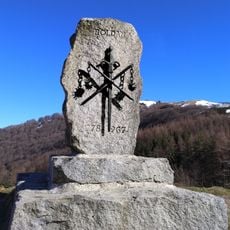
Otsamunho, Mountain summit in Lower Navarre, France
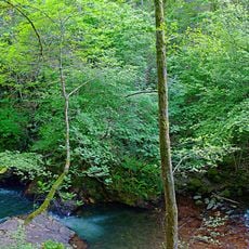
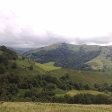
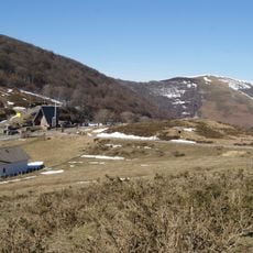
Otsamunho is a mountain in Lower Navarre with a summit reaching 901 meters, surrounded by natural vegetation on its slopes. Multiple walking routes approach the peak from different starting points across the region.
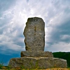
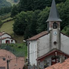
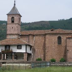
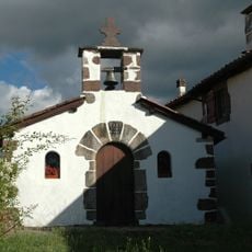
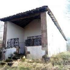
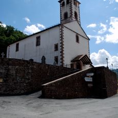
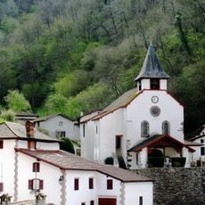
Since medieval times, the mountain has served as a natural border between different Basque communities in Lower Navarre. This boundary role shaped local history and remains visible in how the land is organized today.
Local communities use names rooted in the Basque language when referring to this peak, reflecting deep cultural ties to the region. You will encounter this linguistic tradition reflected in signs and conversations throughout the surrounding area.
The eastern route offers the most gradual climb and works best for less experienced walkers. Wear sturdy footwear and be prepared for changing weather conditions at higher elevations.
On clear days, visitors can see both French and Spanish territory from the summit, observing two countries from one viewpoint. This cross-border panorama often becomes a memorable highlight for those making the climb.
Location: Lower Navarre
Elevation above the sea: 901 m
GPS coordinates: 43.09562,-1.39528
Latest update: December 15, 2025 13:30
Adi
9.4 km
Waterfall of Xorroxin
8.4 km
Mines de cuivre de Banca
4.1 km
Chapel San Salvador de Ibañeta
10.2 km
Château d'Etchaux
10 km
Église de Saint-Étienne-de-Baïgorry
9.7 km
Monastero di San Salvador de Ibañeta
10.2 km
Bergara dorrea
10.9 km
Casa del Puente Internacional de Arnéguy
9.3 km
Iglesia Parroquial de Santiago
7.5 km
Church of Santiago Apóstol, Elizondo
11.3 km
Errola
1.2 km
Orreagako oroitarria
10.2 km
Baigorriko erromatar zubia
10 km
Monastery of Our Lady of the Angels
11.2 km
San Joan Bataiatzailea eliza
11.3 km
Église Notre-Dame d'Aldudes
2.7 km
Église de l'Assomption d'Esnazu
4.1 km
Puente Internacional de Arnegui
9.3 km
Église Saint-Pierre de Banca
3.8 km
Monument to Roland (Puerto de Ibañeta)
10.2 km
Santa Kruz eliza
11.3 km
Chapelle Saint-Sauveur d'Occos
11.3 km
San Kristobal ermita (Arizkun)
10.5 km
Sector comprendido entre Roncesvalles y Valcarlos
8.5 km
Église de l'Assomption d'Urepel
3.3 km
Église de l'Assomption d'Arnéguy
9.3 km
Chapelle de Saint-Laurent de Guermiette
10.6 kmVisited this place? Tap the stars to rate it and share your experience / photos with the community! Try now! You can cancel it anytime.
Discover hidden gems everywhere you go!
From secret cafés to breathtaking viewpoints, skip the crowded tourist spots and find places that match your style. Our app makes it easy with voice search, smart filtering, route optimization, and insider tips from travelers worldwide. Download now for the complete mobile experience.
A unique approach to discovering new places❞
— Le Figaro
All the places worth exploring❞
— France Info
A tailor-made excursion in just a few clicks❞
— 20 Minutes