Enable Location

We need your location to show you interesting places around you

Discover nearby places

Find interesting locations and hidden gems around you

Precise directions

Get accurate directions and distances to places

Your location is never shared with other users. It's only used when you tap the location button.

Errola

Log in to your account

Start exploring — it's free

Trusted by 61,975 travelers worldwide

Continue with Google
Continue with Apple
or

We will send you a code to connect

By continuing, you accept our Terms and Conditions and our Privacy Policy

Check your inbox

We've sent a pincode in your inbox. Please enter the code below.

Errola

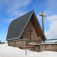
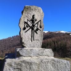
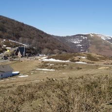
Errola, Mountain summit in Lower Navarre, France

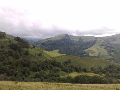
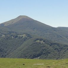
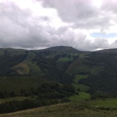
Errola is a mountain summit located between the communes of Banca and Urepel in Lower Navarre, rising to 911 meters above sea level. The peak offers wide views across the surrounding valleys and green hillsides.

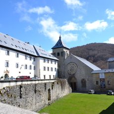
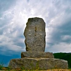
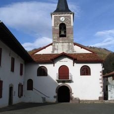
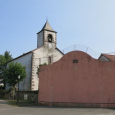
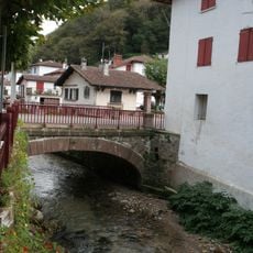
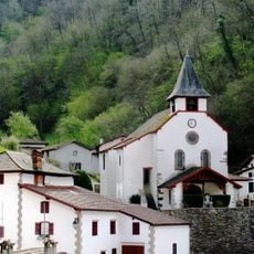
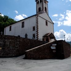
The mountain functioned as a natural border marker in a region where families from Saint-Etienne-de-Baïgorry established settlements starting in the 16th century. These early communities shaped how the surrounding land was used and organized.

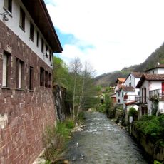
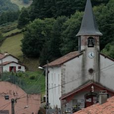
The peak overlooks the Aldudes Valley, where local shepherds continue raising sheep for cheese production and breeding distinctive black pigs as part of their daily work.

Several hiking trails lead to the summit from starting points in or near Banca and Urepel, with varying difficulty levels. Plan your visit according to daylight hours and weather conditions before setting out.

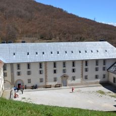
The peak is part of one of the longest hiking routes through the Pyrenees, stretching more than 800 kilometers from the Atlantic coast to the Mediterranean Sea. This long-distance trail connects numerous summits and valleys across a remote and lightly traveled path.

The community of curious travelers

AroundUs brings together thousands of curated places, local tips, and hidden gems, enriched daily by 60,000 contributors worldwide.

Start exploring
Location
Location
Location
Elevation above the sea
911 m
GPS coordinates
43.08531,-1.38975
Latest update
December 14, 2025 20:21
« Errola - Mountain summit in Lower Navarre, France » is provided by Around Us (aroundus.com). Images and texts are derived from Wikimedia project under a Creative Commons license. You are allowed to copy, distribute, and modify copies of this page, under the conditions set by the license, as long as this note is clearly visible.

Discover hidden gems everywhere you go!

From secret cafés to breathtaking viewpoints, skip the crowded tourist spots and find places that match your style. Our app makes it easy with voice search, smart filtering, route optimization, and insider tips from travelers worldwide. Download now for the complete mobile experience.

Around Us App Screenshot

A unique approach to discovering new places

Le Figaro

All the places worth exploring

France Info

A tailor-made excursion in just a few clicks

20 Minutes

Around Us
Travel Guide & Maps
Download

Send to your phone

QR Code
1

Open the camera app on your mobile.

2

Point at the QR code with your camera. A notification will appear.

3

Tap the notification to open the link.