Anklagende
Location: Arnsberg
Accessibility: Wheelchair accessible
GPS coordinates: 51.45149,7.96973
Latest update: July 20, 2025 15:57
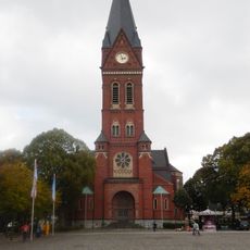
Pfarrkirche St. Johannes Baptist
559 m
Rennweg
603 m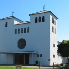
St. Michael
253 m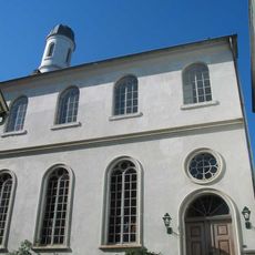
Neheimer Synagoge
980 m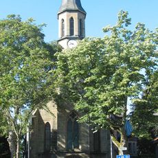
Christuskirche
919 m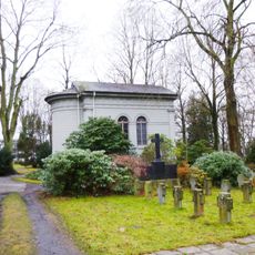
Theodorus-Kapelle
605 m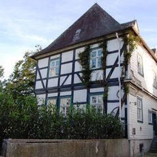
Drostenhof
845 m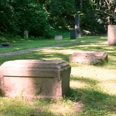
Jüdischer Friedhof Neheim
957 m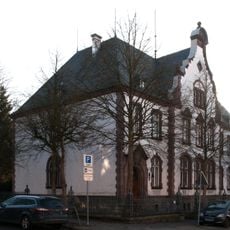
Altes Amtsgericht Neheim
210 m
Haus Risse
693 m
Unterlauf der Möhne
986 m
Neheimer Glockenspiel
545 m
Christianity, Catholic church building, wayside shrine
712 m
Totenlaterne/Denkmal für die Opfer der Möhnesee-Bombardierung Mai 1943
556 m
Lisel Rosenthal
555 m
Franz-Stock-Denkmal
607 m
Ehrenhain Möhnesee-Bombardierung 1943
636 m
Ehem. Zwangsarbeiterlager Möhnewiesen
648 m
Otto Rosenthal
553 m
Scenic viewpoint
711 m
Ehrenmal
582 m
Work of art, sculpture
829 m
Ernst Rosenthal
551 m
Lichtes Zahlenwerk
519 m
Frieda Schnellenberg geb. Eisenstein
498 m
Jakob Schnellenberg
496 m
Baum aus Metall
495 m
Ehem. Synagoge
988 mReviews
Visited this place? Tap the stars to rate it and share your experience / photos with the community! Try now! You can cancel it anytime.
Discover hidden gems everywhere you go!
From secret cafés to breathtaking viewpoints, skip the crowded tourist spots and find places that match your style. Our app makes it easy with voice search, smart filtering, route optimization, and insider tips from travelers worldwide. Download now for the complete mobile experience.

A unique approach to discovering new places❞
— Le Figaro
All the places worth exploring❞
— France Info
A tailor-made excursion in just a few clicks❞
— 20 Minutes