Symbolisiertes Wiesenwehr
Location: Steinebach an der Wied
GPS coordinates: 50.60120,7.80315
Latest update: November 22, 2025 18:38
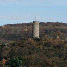
Burg Hartenfels
3.7 km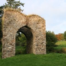
Burg Steinebach
1.2 km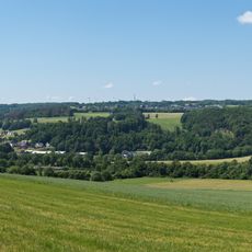
Gräbersberg
4.4 km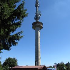
Gräbersberg Observation Tower
4.3 km
Dreifaltigkeitskirche (Dreifelden)
2.5 km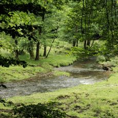
Oberes Wiedtal
3.2 km
Jewish cemetery, Hartenfels
3.2 km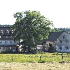
Neumühle
236 m
Schimmelsbachtal
3.4 km
Haiden-Weiher
1.9 km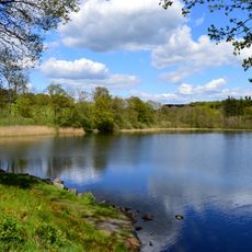
Dreifelder Weiher
1.8 km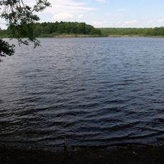
Brinkenweiher
3.3 km
Westerwälder Seenplatte
4.1 km
Unterwesterwald bei Herschbach
4.1 km
Westerwälder Seenplatte
378 m
Westerwälder Seenplatte
3.2 km
Basaltsäule
360 m
Strandbad Freilingen
4.4 km
Golfanlage Dreifelden
2.4 km
Frauenfigur
273 m
Work of art, sculpture
2.6 km
Scenic viewpoint
3.9 km
Alter Schutzbunker
4 km
Alter Futtersilo
4 km
Emil Kitz
4.4 km
Catholic church building, wayside cross, Christianity
3.3 km
Wayside cross
3.6 km
Wayside cross
4.3 kmReviews
Visited this place? Tap the stars to rate it and share your experience / photos with the community! Try now! You can cancel it anytime.
Discover hidden gems everywhere you go!
From secret cafés to breathtaking viewpoints, skip the crowded tourist spots and find places that match your style. Our app makes it easy with voice search, smart filtering, route optimization, and insider tips from travelers worldwide. Download now for the complete mobile experience.

A unique approach to discovering new places❞
— Le Figaro
All the places worth exploring❞
— France Info
A tailor-made excursion in just a few clicks❞
— 20 Minutes