
Westerwälder Seenplatte, protected area in the European Union defined by the habitats directive in Rheinland-Pfalz, Germany
Location: Westerwaldkreis
Inception: 2007
GPS coordinates: 50.58351,7.83932
Latest update: May 25, 2025 11:01
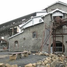
Tertiär- und Industrie-Erlebnispark Stöffel
5.2 km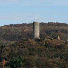
Burg Hartenfels
4.3 km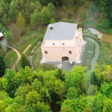
Alte Burg
3 km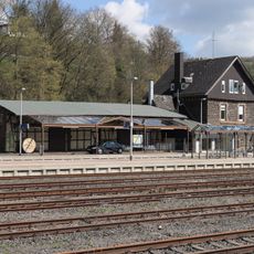
Nistertal-Bad Marienberg station
6.9 km
Helleberg
3.6 km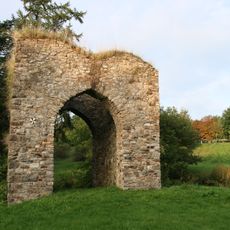
Burg Steinebach
4 km
Gräbersberg
4.8 km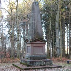
Marceau-Denkmal
7.7 km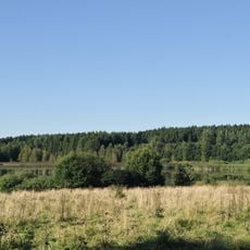
Wölferlinger Weiher
2.6 km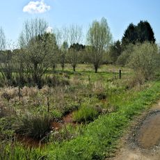
Holzbachtal
6 km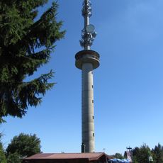
Gräbersberg Observation Tower
4.7 km
Dreifaltigkeitskirche (Dreifelden)
957 m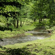
Oberes Wiedtal
6.3 km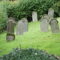
Jewish cemetery, Hartenfels
3.8 km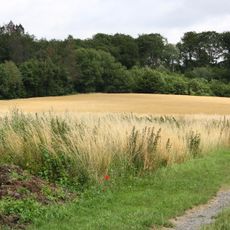
Steinbruch am Breiten Berg
8.5 km
Neumühle
3 km
Nisteraue
7.9 km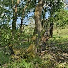
Schimmelsbachtal
5.5 km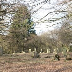
Jüdischer Friedhof
5.1 km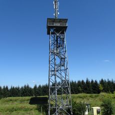
Helleberg Observation Tower
3.6 km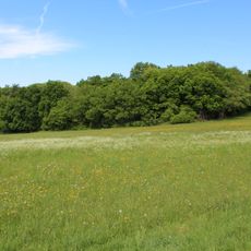
Im Kumpf
7.4 km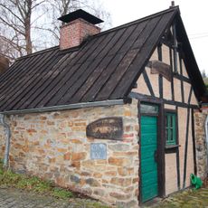
Backhaus
7.2 km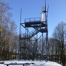
Stöffel Observation Tower
5 km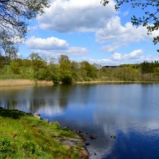
Dreifelder Weiher
1.4 km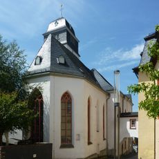
Schlosskirche
8.7 km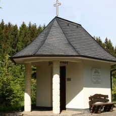
Waldkapelle Maria Rast
4.7 km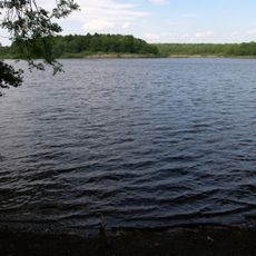
Brinkenweiher
1.8 km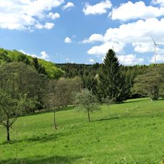
Unterwesterwald bei Herschbach
6.7 kmReviews
Visited this place? Tap the stars to rate it and share your experience / photos with the community! Try now! You can cancel it anytime.
Discover hidden gems everywhere you go!
From secret cafés to breathtaking viewpoints, skip the crowded tourist spots and find places that match your style. Our app makes it easy with voice search, smart filtering, route optimization, and insider tips from travelers worldwide. Download now for the complete mobile experience.

A unique approach to discovering new places❞
— Le Figaro
All the places worth exploring❞
— France Info
A tailor-made excursion in just a few clicks❞
— 20 Minutes