Mapped 66117
Location: Bezirk Mitte
Location: Saarbrücken
Creator: Heiko Zahlmann;Stohead
Creator: Heiko Zahlmann;Stohead
Address: 29 29 Stengelstraße 66117 Saarbrücken 66117 Saarbrücken
GPS coordinates: 49.23373,6.98429
Latest update: November 20, 2025 03:17

Ludwigskirche
257 m
French embassy
214 m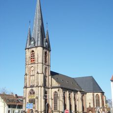
St. Jakob
98 m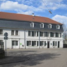
Gasthaus Adler
253 m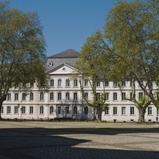
Comeniushaus
131 m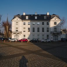
Palais Lüder
158 m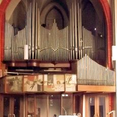
Späth-Orgel in St. Jakob
104 m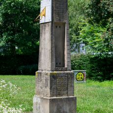
Meteorological column Saarbrücken
261 m
Haus der Lutherischen Gemeinde
202 m
Haus des Ev. Stiftes St. Arnual
272 m
Wandskulptur
143 m
Sculpture, Work of art
190 m
Relief sculpture, Work of art
130 m
War memorial, memorial
113 m
Königlich Preußische Höhenmarkierung
183 m
Haus der Gebrüder König
184 m
Haus Wentzel
249 m
Place Saint-Louis
202 m
Memorial
230 m
Commemorative plaque, memorial
255 m
Hospital, Armen-, Zucht- und Waisenhaus
139 m
Memorial, commemorative plaque
258 m
Gasthaus Zum Adler
246 m
Haus der reformierten Gemeinde
243 m
Palais Madame de Freytal
218 m
Palais Baron von Lüder
161 m
Palais Baron von Doeben
228 m
Palais Dr. Franz Josef Röder
237 mReviews
Visited this place? Tap the stars to rate it and share your experience / photos with the community! Try now! You can cancel it anytime.
Discover hidden gems everywhere you go!
From secret cafés to breathtaking viewpoints, skip the crowded tourist spots and find places that match your style. Our app makes it easy with voice search, smart filtering, route optimization, and insider tips from travelers worldwide. Download now for the complete mobile experience.

A unique approach to discovering new places❞
— Le Figaro
All the places worth exploring❞
— France Info
A tailor-made excursion in just a few clicks❞
— 20 Minutes